

News
Nearly $10,000 in penalties issued for illegal dumping in Alice Springs
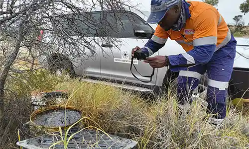
nce September 2025, nearly $10,000 in penalties have been issued to individuals for causing an environmental nuisance under the Waste Management and Pollution Control Act 1998, following illegal dumping activities on Crown land in Alice Springs.
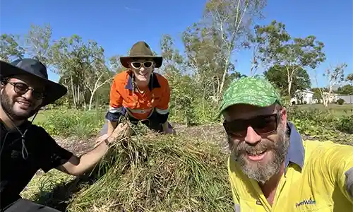
The Office of Water Security joined Power Water Corporation and the Department of Education and Training at Dripstone Middle School in early December 2025 to help year 7 students weed their native garden.
Environmental regulation building on success
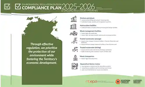
The Environmental Regulation division has released its Compliance Plan 2025–26 and Compliance Report Card 2024–25, reflecting a shared commitment to advancing regulatory excellence.
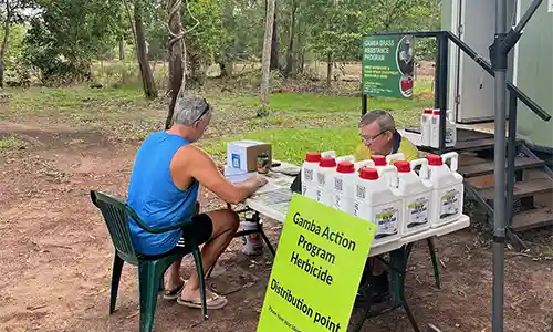
The 2025-2026 gamba action program (GAP) has had a strong start this season, with over 2,000 bottles of 5L herbicide distributed to private landholders across the urban, rural and agricultural areas in the Darwin and Katherine regions by the end of January.
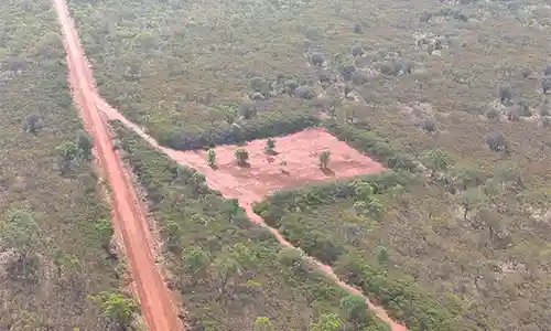
Drone technology supports targeted compliance inspections
The Petroleum Regulation team recently undertook a week-long inspection across various onshore gas sites in the Beetaloo Sub-basin.
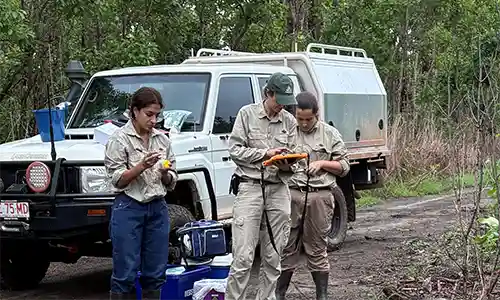
Crown land estate acts to reduce feral pig impacts in Leanyer
Following public reports of feral pigs moving close to residential properties in Leanyer, the Crown Land Management team installed surveillance cameras on nearby vacant Crown land.

New guides available to boost water savings in the Territory
Established in 2014, Power and Water Corporations, Living Water Smart (LWS) program helps households and businesses reduce water use through practical education, water-wise tools and simple actions to cut waste and reduce leaks.
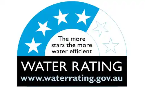
Water efficient appliances save the Territory $19.6 million
The Water Efficiency Labelling and Standards (WELS) scheme has a significant impact across Australia, helping households and businesses reduce water use, lower bills, and support long‑term water security.

The Cambrian Limestone Aquifer: stable and plentiful
The Northern Territory Government takes a holistic, evidence-based approach to sustainably managing water in the Territory. The Cambrian Limestone Aquifer (CLA) is vast and plentiful and contributes to water resources across a large area of the Territory.

Release of the draft Buffel Grass Weed Management Plan for public comment
The Minister for Lands, Planning and Environment has approved the first ever draft Buffel Grass Weed Management Plan for public consultation, and extended the consultation period by an additional 4 weeks to give Territorians ample opportunity to have their say.