

DENR projects - list
Barkly North
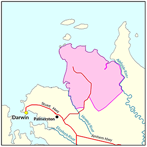
The project for Barkly North is currently under way. Once completed information on soil and land capability for this area will be available. Information on Ground water resources is now available.
Barkly North
A soil and land suitability assessment is currently underway on 46,250ha of pastoral land along the Barkly Stock Route Road.
Once completed, a report and maps will be generated that document the soil and land factors likely to impact irrigated agricultural development and highlight the crops most suited to the study area.
View survey location on NR Maps.

View a larger version of the Barkly North locality map.
Water
The 'Georgina Basin Groundwater Assessment: Daly Waters to Tennant Creek report' is a technical report. It describes the hydrogeological characteristics of the Gum Ridge and Anthony Lagoon formations within the Georgina Basin. The report estimates water availability, bore yield and groundwater quality.
- Read the report on the Territory Stories website.
- View the Georgina Basin survey location on NR Maps.
Contact
For further information contact rangelands@nt.gov.au
Beswick
In 2017-18 the Department of Environment and Natural Resources undertook a soil and land suitability assessment on Aboriginal Lands in the Beswick area.
Beswick
In 2017-18 the Department of Environment and Natural Resources undertook a soil and land suitability assessment on Aboriginal Lands in the Beswick area.
Of the 1,160ha surveyed, 265ha were identified as versatile land suited to a range of irrigated agricultural cropping options.
Information regarding groundwater resources in this area are available from the Daly Basin Groundwater Resource Assessment: North Mataranka to Daly Waters report.
Structural and floristic vegetation characteristics were recorded throughout the study area, summary descriptions are presented within the Soil and Land Suitability Assessment report.
View survey location on NR Maps.

View a larger version of the Beswick locality map.
Soil and land
The following report and maps document the soil and land factors likely to impact irrigated agricultural development and highlight the crops most suited to the study area.
- Read the report on the Territory Stories website.
- Download the interactive map(pdf) and open it with Adobe Reader.
- Download the spatial data package.
- View the metadata.
Water
The 'Daly Basin Groundwater resource Assessment: North Mataranka to Daly Waters report' is a technical report assessing the Tindall Limestone aquifer underlying the region.
The report estimates groundwater availability, quality and bore yield and describes the likely impact of further extraction from the aquifer.
- Read the report on the Territory Stories website.
- View the map (pdf).
- View the Daly Basin Aquifers survey location on NR Maps.
Contact
For further information contact rangelands@nt.gov.au
Dunmarra
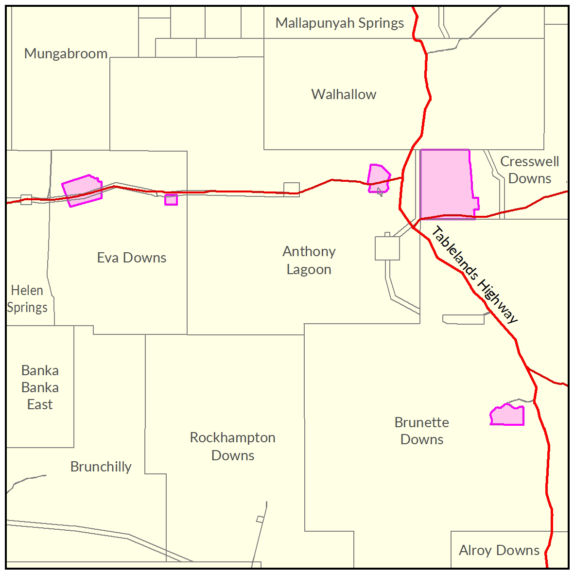
The soil and land suitability assessment investigated 59,980ha in the Dunmarra area to assist the potential development of irrigated agriculture in the vicinity.
Dunmarra
The soil and land suitability assessment investigated 59,980ha in the Dunmarra area to assist the potential development of irrigated agriculture in the vicinity.
The land resource mapping and crop suitability framework have identified 14,831ha of versatile lands suitable for irrigating a range of crops, with a further 10,396ha occupied by lands that are suitable for a limited range of irrigated agricultural activities.
View the survey location on NR Maps.

View a larger version of the Dunmarra locality map.
Soil and land
The following report and maps document the soil and land factors likely to impact irrigated agricultural development and highlight the crops most suited to the study area.
- Read the report on the Territory Stories website.
- View the maps (pdf).
- Download the spatial data package.
- View the metadata.
Water
The 'Georgina Basin Groundwater Assessment: Daly Waters to Tennant Creek report' is a technical report. It describes the hydrogeological characteristics of the Gum Ridge and Anthony Lagoon formations within the Georgina Basin.
The report estimates water availability, bore yield and groundwater quality.
- Read the report on the Territory Stories website.
- View the Georgina Basin survey location on NR Maps.
Contact
For further information contact rangelands@nt.gov.au
East Arnhem
Soil and land suitability mapping has been carried out across four survey areas in East Arnhem Land.
East Arnhem
Soil and land suitability mapping has been carried out across four survey areas in East Arnhem Land.
The department is awaiting formal endorsement from the Northern Land Council and Traditional Owners before public release of the:
- spatial datasets
- mapping products and
- technical report.
Until the department receives formal endorsement, public requests for these datasets and associated products must be accompanied by written approval from the Northern Land Council.
View survey location on NR Maps.
Contact
For further information contact rangelands@nt.gov.au

View a larger version of the East Arnhem locality map.
Gunn Point
The Gunn Point Peninsula offers significant potential for a range of agricultural, horticultural, industrial, residential and tourist opportunities. This project area has a reports on the development potential of this area for soil and land, water, terrestrial and marine/coastal biodiversity.
Gunn Point
In June 2020 the Department of Environment and Natural Resources completed a project to provide an integrated overview of the land capability, water availability and biodiversity assets of the Gunn Point area.
This project provides confidence about the biophysical resources and a baseline of information to inform investment decisions and effective regulatory decisions.
View a larger version of the Gunn Point locality map.
Development potential summary
With all weather road access, close proximity to transport hubs, workforce and planned provision for utilities and trunk services, the Gunn Point peninsula offers considerable opportunity for strategic industry, primary production, rural and residential development.
Key development potential facts
- 33,000ha has high to moderate potential for general development, nearly 20,000 ha of this land has access to a productive aquifer.
- Approximately 37,000 ha is not recommended for development due to physical or environmental land use constraints.
- Sufficient groundwater is available to sustainably support a modest horticultural precinct, potentially increasing the land currently under irrigated agriculture in the Litchfield municipality by 10% to 15%.
- In 2015 a NT Farmers Economics Profile estimated the Litchfield horticultural industry contributed $122 million annually to the local economy.
Information products
- Read the report on the Territory Stories website.
- View the summary map.
- Download the interactive map (pdf) and open it with Adobe Reader.
- View the survey location on NR Maps
- Download the spatial data package.
- View the development potential metadata.
- View the groundwater development potential metadata.
Informed by this project, the Northern Territory Planning Commission is reviewing strategic plans for the Gunn Point Peninsula and encourage the community to get involved and have their say. Find out more about the project at planningcommission.nt.gov.au
Information related to recreation, conservation, boating and fishing on Gunn Point land held by Northern Territory Land Corporation can be viewed at www.gunnpoint.com.au
Watch the development potential video for Gunn Point
Soil and land
2020 soil and land investigation
The following report and maps document the soil and land factors likely to impact irrigated agricultural development and highlight the crops most suited to the Gunn Point peninsula.
Note this work encompasses and expands upon the 2017 investigation area.
- Read the report on the Territory Stories website.
- View the map (pdf).
- Download the interactive map (pdf) and open it with Adobe Reader.
- Download the spatial data package.
- View the metadata.
2017 soil and land investigation
The following report and maps document the soil and land factors likely to impact irrigated agricultural development and highlight the crops most suited to portions of land totalling 7,619ha within the Gunn Point peninsula.
- Read the report on the Territory Stories website.
- Download the interactive map (pdf) and open it with Adobe Reader.
- Download the spatial data package.
- View the metadata.
- View the survey location on NR Maps.
Water
The following report and map provide technical details of the Groundwater Resources of the Gunn Point area. The report estimates groundwater availability, quality and bore yield within the study area.
- Read the report on the Territory Stories website.
- View the map (pdf).
- Download the spatial data package.
- View the metadata.
Vegetation
The following report documents the vegetation associated with the study area.
- Read the report on the Territory Stories website.
- Download the spatial data package.
- View the metadata.
Marine and coastal biodiversity
The following report is a desktop assessment of the marine and coastal biodiversity of the Gunn Point area. It identifies the current state of knowledge from a range of sources and the knowledge gaps that would need to be addressed to inform and assess any coastal development within the study area.
- Read the report on the Territory Stories website.
- Download the spatial data package.
- View the metadata.
Terrestrial biodiversity
The following report and map document the results of fauna and flora surveys within the study area, including occurrence and distribution of threatened species, significant habitat and biodiversity risk classes.
- Read the report on the Territory Stories website.
- View the map (pdf).
- Download the spatial data package.
- View the metadata.
Contact
For further information contact:
Simon Cruickshank
Phone: 08 8999 3676
Email: simon.cruickshank@nt.gov.au
Katherine
A soil and land suitability assessment and biodiversity assessment for Katherine is currently underway with reports due to be published late 2021.
Katherine
A soil and land suitability assessment and biodiversity assessment for Katherine was undertaken during 2018-22 and the Biodiversity assessment of the Katherine area report was published in 2024.
These products were integrated with the Katherine Tindall Limestone Aquifer Water Allocation Plan to provide a comprehensive overview of the biophysical resources within the Katherine Town Plan area.
For more information about the survey location, go to the NR Maps website.

Biodiversity
The following report documents the results of fauna and flora surveys within the Katherine study area, including occurrence and distribution of threatened species, significant habitat and biodiversity risk classes.
- Read the report on the Territory Stories website.
- Download the spatial data package (contains data, metadata and report).
- View the metadata.
Water
- Read the Katherine Tindall Limestone Aquifer Water Allocation Plan 2024-2026.
- Read the report on the Territory Stories website.
- Download the Daly Basin Aquifers map.
- Download the spatial data package.
- Read more the metadata, go to the NTLIS website.
- Find out about Tindall Aquifer survey location, go to the NR Maps website.
Contact
For further information contact:
Simon Cruickshank
Phone: 08 8999 3676
Email: simon.cruickshank@nt.gov.au
Kurnturlpara and Warumungu Aborignal Land Trusts
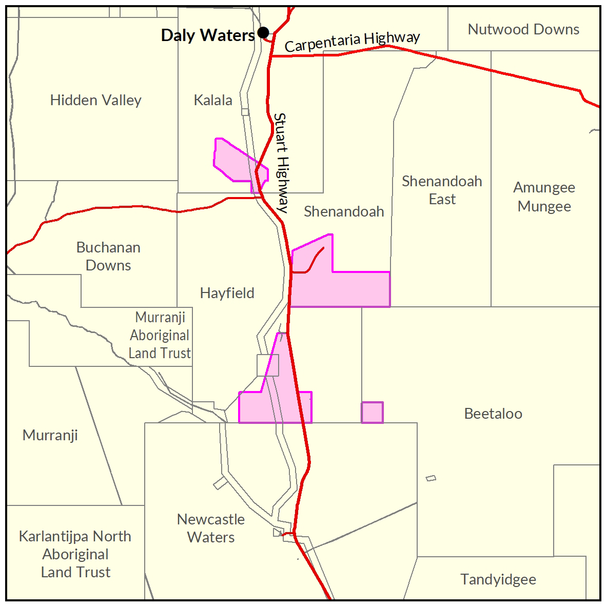
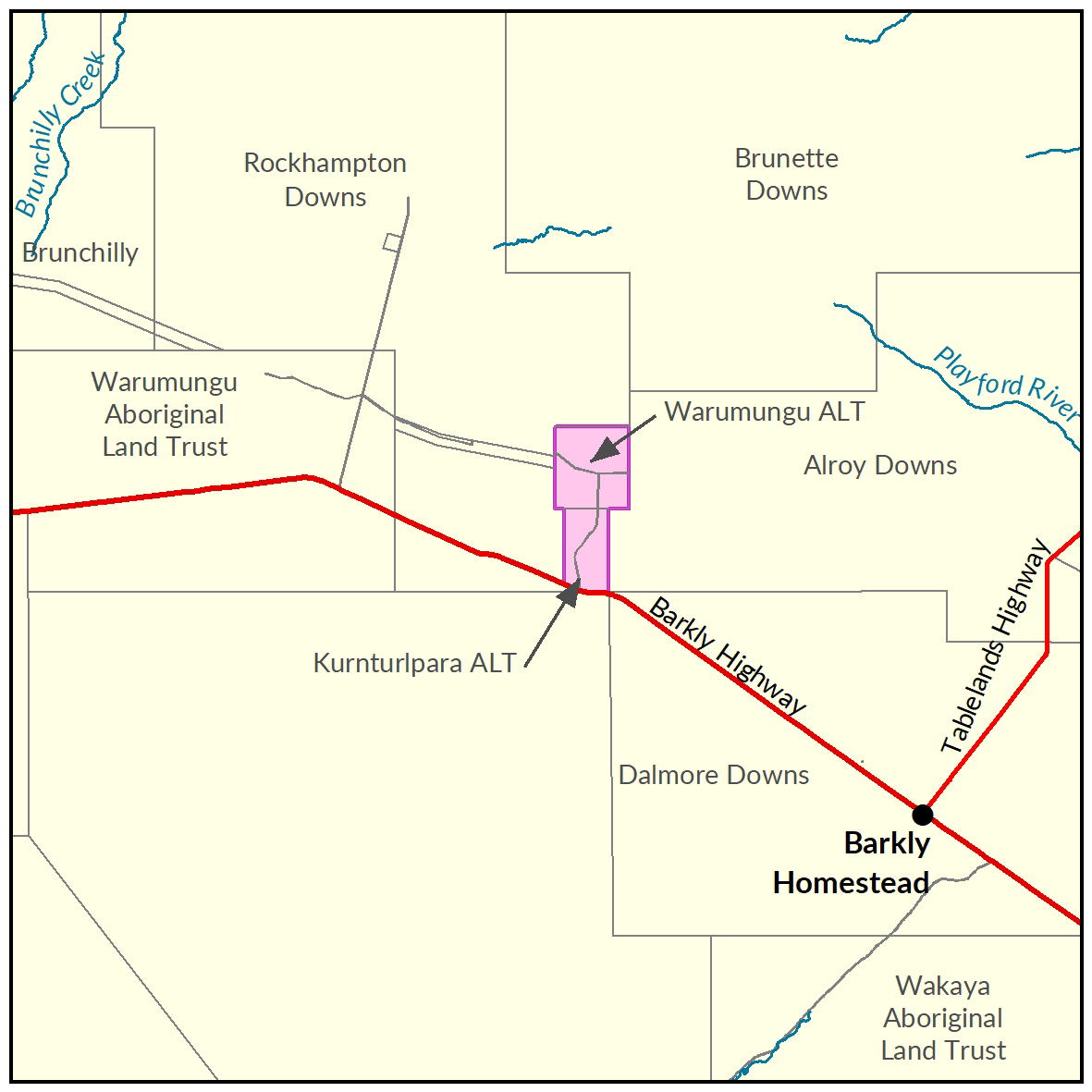
In 2015-16, the Department of Environment and Natural Resources undertook a soil and land suitability assessment on lands owned by Kurnturlpara and Warumungu Aboriginal Land trusts. Locally known as Frewena.
Kurnturlpara and Warumungu Aborignal Land Trusts
In 2015-16 the Department of Environment and Natural Resources undertook a soil and land suitability assessment on lands owned by Kurnturlpara and Warumungu Aboriginal Land trusts, locally known as Frewena.
Of the 17,232ha surveyed, 2,490ha were identified as moderate capability land and approximately 14,450ha as land of marginal capability.
An additional 400ha of the moderate capability land was further assessed with approximately 118ha identified as suitable for irrigated agricultural.
The Kurnturlpara and Warumungu Aboriginal Land overlay two main aquifers within the Georgina Basin.
The 2019 Georgina Basin Groundwater Assessment: Daly Water to Tennant Creek identifies the Gum Ridge Formation as a regional scale fractured and karstic aquifer and the Anthony Lagoon Formation, which overlies the Gum Ridge Formation, as numerous stratified intermediate scale, fractured and karstic aquifers.
The Gum Ridge Formation has the best potential for irrigation supplies due to its potential for high yields, shallower bores while the Anthony Lagoon Formation has potential for small-scale irrigation supplies. Groundwaters in the Basin range from fresh to saline but are generally fresher and more suitable for irrigation on the Basin margins. Detailed investigations of the suitability of the local water quality on soil types and the crops to be irrigated are recommended before any major irrigation projects are proceeded with.
The Kurnturlpara and Warumungu Aboriginal Lands are not within a Water Control District or subject to a Water Allocation Plan. Therefore production bores within these lands do not require a bore construction permit and only require an extraction license if they are equipped to supply >15l/s.

View a larger version of the Kurnturlpara and Warumungu Aboriginal Land Trusts locality map.
Soil and land
The following report and maps document the soil and land factors likely to impact irrigated agricultural development and highlight the crops most suited to the study area.
- Read the report on the Territory Stories website.
- View the maps (pdf).
- View the spatial data package.
- View the metadata.
- View the survey location on NR Maps.
Water
The 'Georgina Basin Groundwater Assessment: Daly Waters to Tennant Creek report' is a technical report. It describes the hydrogeological characteristics of the Gum Ridge and Anthony Lagoon formations within the Georgina Basin.
The report estimates water availability, bore yield and groundwater quality.
- Read the report on the Territory Stories website.
- View the Georgina Basin survey location on NR Maps.
Contact
For further information contact rangelands@nt.gov.au
Larrimah
Two soil and land suitability investigations have been undertaken by the Department of Environment and Natural Resources. The two study areas combined identified 24,180ha of land being potentially suitable for a range of irrigated crops.
Larrimah
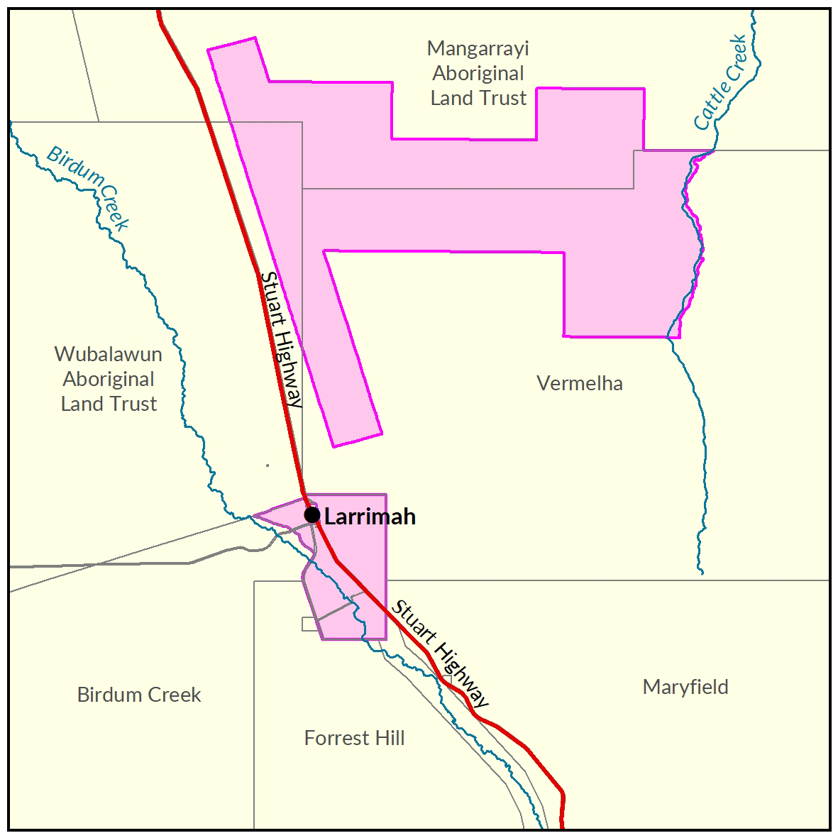
Two soil and land suitability investigations have been undertaken by the Department of Environment and Natural Resources.
The first survey was conducted in 2014-15 assessing 42,650ha approximately 5kms north east of Larrimah, referred to as the Larrimah area assessment.
The second investigation was conducted in 2018 assessing a further 5,930ha on crown lands surrounding the Larrimah township, referred to as the Larrimah Town assessment.
The two study areas combined identified 24,180ha of land being potentially suitable for a range of irrigated crops.
A Daly Basin groundwater resource assessment was completed in December 2015.
This assessment sought to gather information which would improve the understanding of the Tindall Limestone Aquifer underlying the region.
View the survey location on NR Maps.

View a larger version of the Larrimah locality map.
Biodiversity
The following report and map document the results of fauna and flora surveys within the Larrimah area, including occurrence and distribution of threatened species, significant habitat and biodiversity risk classes.
- Read the report (pdf) on the Territory Stories website.
- View the biodiversity and vegetation map (pdf).
- Download the spatial data package (contains data, metadata, report and maps).
- View the metadata record.
Soil and land
The following report and maps document the soil and land factors likely to impact irrigated agricultural development and highlight the crops most suited to the study area.
Larrimah area
- Read the report on the Territory Stories website.
- View the maps (pdf).
- Download the spatial data package.
- View the metadata.
- View the survey location on NR Maps.
Larrimah township
- Read the soil and land suitability assessment report on the Territory Stories website.
- Download the interactive map (pdf) and open it with Adobe Reader.
- Download the spatial data package.
- View the metadata.
- View the survey location on NR Maps.
Water
The 'Daly Basin Groundwater resource Assessment: North Mataranka to Daly Waters report' is a technical report assessing the Tindall Limestone aquifer underlying the region.
The report estimates groundwater availability, quality and bore yield and describes the likely impact of further extraction from the aquifer.
- Read the report on the Territory Stories website.
- View the map (pdf).
- View the Daly Basin Aquifers survey location on NR Maps.
Contact
For further information contact:
Simon Cruickshank
Phone: 08 8999 3676
Email: simon.cruickshank@nt.gov.au
Lower Roper
Surveys for soil and land suitability assessment for irrigated agriculture for southern Flying Fox Station were published in 2021.
Lower Roper
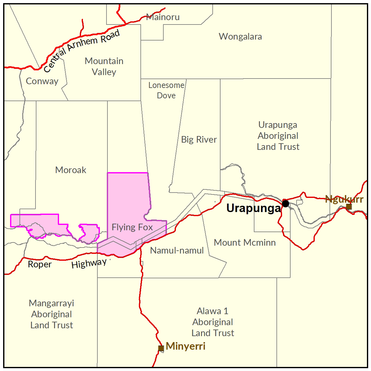
Surveys for soil and land suitability assessment for irrigated agriculture for the southern Flying Fox Station (2021) have been completed in 2 parts.
Part A – Land Resources and General Land Capability
Part B – Digital Soil Mapping and Crop Specific Land Suitability
A survey of the soils of the upper Roper floodplains was conducted in 1976 assessing the suitability of the alluvial plains on Moroak Station for irrigation.
View the survey location on NR Maps.

View a larger version of the Lower Roper locality map.
Soil and land
Soil and Land Assessment of the Southern Part of Flying Fox Station for Irrigated Agriculture
Part A: Land Resources and General Land Capability (2021)
The following report and information products document the soils and land capability assessment over the study area.
- Read the report on the Territory Stories website.
- View the maps (pdf).
- Download the spatial data package.
- View the metadata record
- View the survey location on NR Maps.
Soil and Land Assessment of the Southern Part of Flying Fox Station for Irrigated Agriculture
Part B: Digital Soil Mapping and Crop Specific Land Suitability (2021)
The following report and information products document the soils and land suitability for specific crops over the study area.
- Read the report on the Territory Stories website.
- Download the interactive map (pdf) and open it with Adobe Reader.
- Download the spatial data package .
- View the metadata record
- View the survey location on NR Maps.
Soils of the Upper Roper Plains – Moroak Station (1976)
A soil survey assessed the suitability of the alluvial plains on Moroak Station for irrigation.
- Read the report on the Territory Stories website.
- View the map (pdf).
- Download the spatial data package.
- View the metadata.
- View the survey location on NR Maps.
Vegetation
Vegetation Communities of the Southern Part of Flying Fox Station (2018)
The following report documents the vegetation associated with the study area in southern Flying Fox Station.
- Read the report on the Territory Stories website.
- Download the spatial data package.
- View the metadata.
- View the survey location on NR Maps.
Contact
For further information contact rangelands@nt.gov.au
Nhulunbuy
A soil and land suitability assessment for Nhulunbuy is scheduled to be undertaken late 2020.
Nhulunbuy
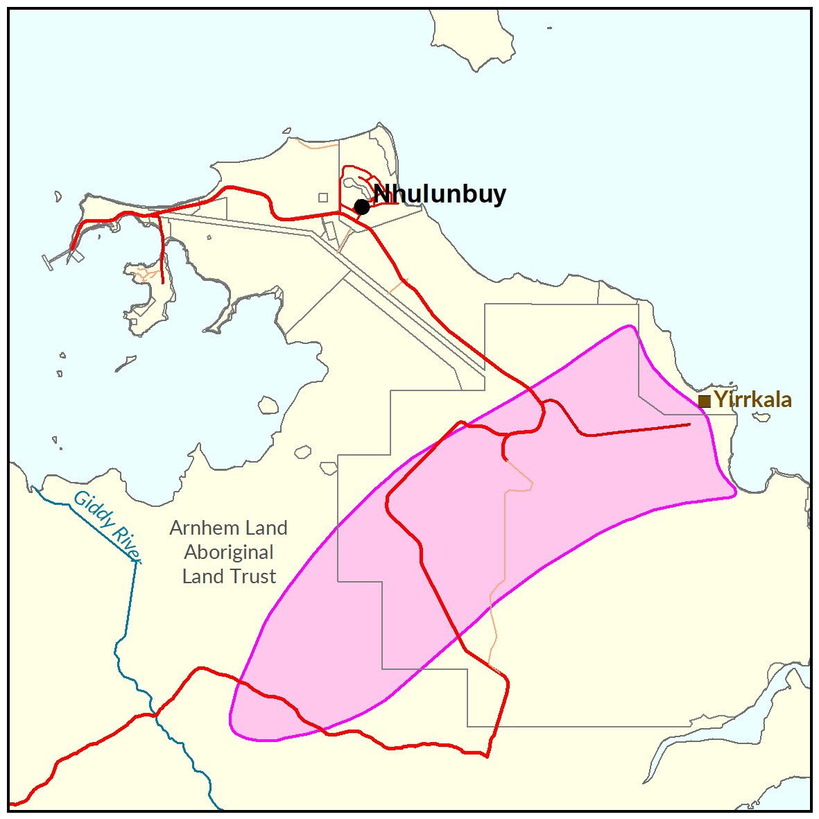
A soil and land suitability assessment for Nhulunbuy is scheduled to be undertaken late 2020.
View the survey location on NR Maps.
Contact
For further information contact rangelands@nt.gov.au

View a larger version of the Nhulunbuy locality map.
North East Bathurst Island
In 2014, the Department of Land Resource Management undertook the following at north east Bathurst Island: a land suitability assessment, water resource investigation and flora and fauna evaluation.
North East Bathurst Island
In 2014 the Department of Land Resource Management undertook a land suitability assessment, water resource investigation and flora and fauna evaluation in north east Bathurst Island to develop baseline information of the bio-physical resources.
The study area included 14,100ha of terrestrial land and an additional 4,700ha of intertidal environments. A total of 6,000ha were surveyed as moderately suitable for a range of crops with availability of water being a limiting factor in determining the extent and type of crops productive and economically viable.
The biodiversity assessment identified seventeen flora and fauna species listed as threatened under Northern Territory and Australian Government legislation.
Four of these species are widespread in areas assessed as suitable for agriculture.
Investors interested in development opportunities on the Tiwi Islands should contact the Land Development Corporation on 08 8944 0909.

View a larger version of the North East Bathurst Island locality map.
Development potential summary
The following reports and maps document the soil and land, water and biodiversity assets of the study area highlighting the irrigation development potential and crops most suited to the study area.
- Read the reports on the Territory Stories website.
- View the map (pdf).
- View the survey location on NR Maps.
Soil and land
The following reports and maps document the soil and land assets of the study area.
- Read the report on the Territory Stories website.
- View the map (pdf).
- Download the spatial data package.
- View the metadata.
- View the survey location on NR Maps.
Water
- View the spatial data package.
- View the metadata.
Contact
For further information contact:
Simon Cruickshank
Phone: 08 8999 3676
Email: simon.cruickshank@nt.gov.au
Orange Creek
In 2016-17, the Department of Environment and Natural Resources undertook a soil and land suitability assessment on a portion of the Hugh River Valley within Orange Creek Station.
Orange Creek
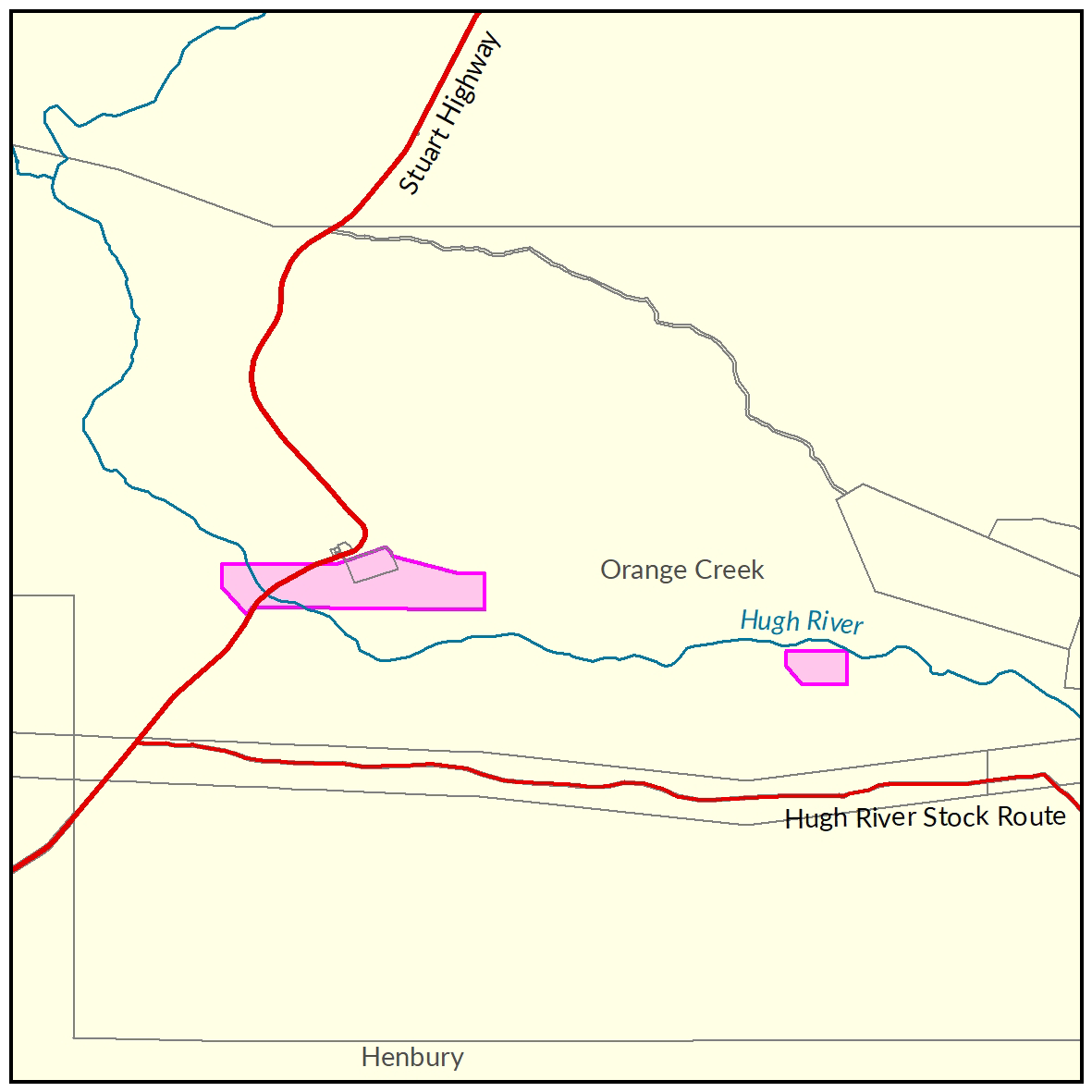
In 2016-17 the Department of Environment and Natural Resources undertook a soil and land suitability assessment on a portion of Hugh River Valley within Orange Creek Station.
This was part of a wider program to identify and promote areas of soil, land and water resource assets with potential for irrigated agriculture on pastoral, crown, private and Indigenous Lands.
Of the 1,664ha surveyed, 680ha were identified as high capability land and 422ha as land of moderate capability.
Crop type suitability findings indicate between 71ha and 87ha of land is suitable for irrigated agriculture with only minor limitations. A further 1,043 to 1,130ha is considered suitable land with moderate limitations.
In 2018-19 a preliminary assessment of groundwater storage in the Cambrian Carbonate Aquifers was undertaken.
These aquifers represent the most productive aquifers at Orange Creek Station that would be accessed by any irrigation development referred to in the soil and land suitability assessment.

View a larger version of the Orange Creek locality map.
Soil and land
The following report and maps document the soil and land factors likely to impact irrigated agricultural development and highlight the crops most suited to the study area.
- Read the report on the Territory Stories website.
- View the maps (pdf).
- Download the spatial data package.
- View the metadata.
- View the survey location on NR Maps.
Water
The 'Orange Creek Groundwater Assessment report' is a technical report assessing the Cambrian Carbonate aquifer underlying the region.
The report provides a preliminary estimate of groundwater storage, details of current use and an indication of the maximum permissible total annual extraction rate.
- Read the report on the Territory Stories website.
- View the map (pdf).
- Download the spatial data package.
- View the metadata.
- View information on existing water licences in the area via the water licensing portal.
Contact
For further information contact rangelands@nt.gov.au
Tennant Creek West
In 2015-16, the Department of Environment and Natural Resources undertook a soil and land suitability assessment for irrigated agriculture in the Tennant Creek West area.
Tennant Creek West
In 2015-16-the Department of Environment and Natural Resources undertook a soil and land suitability assessment for irrigated agriculture in the Tennant Creek West area.
The investigation was undertaken in collaboration with pastoral lessees and Traditional Owners – 30km to 65kms west of Tennant Creek.
The project investigated 57,855ha of Aboriginal land and pastoral lease.
A total of 47,200ha of which was identified as high capability land and 7,320ha classified as having moderate capability.
The land suitability assessment identified approximately 48,000ha having potential to support field crops, hay/forage, and row crops, and 42,500ha for tree crops.
No water resource assessments have been conducted for this area. However, bore pump test results for bores drilled on Puwarinji Outstation in 1985 indicated very limited potential for groundwater supply.
View the survey location on NR Maps.

View a larger version of the Tennant Creek West locality map.
Soil and land
The following report and maps document the soil and land factors like to impact irrigated agricultural development and highlight the crops must suited to the study area.
- Read the report on the Territory Stories website.
- View the maps (pdf).
- Download the spatial data package.
- View the metadata.
Water
Contact
For further information contact rangelands@nt.gov.au
Ti Tree
In 2016-17, the Department of Environment and Natural Resources completed a soil and land suitability assessment for irrigated agriculture in the Ti Tree area.
Ti Tree
In 2016-17-the Department of Environment and Natural Resources undertook a soil and land suitability assessment for irrigated agriculture in the Ti Tree area.
The project investigated 13,563ha of private and Aboriginal land and identified more than 10,000ha suitable for a range of irrigated agricultural crops.
The investigation area is within the Ti Tree Water Control District where water extraction for irrigation purposes is subject to the Ti Tree Water Allocation Plan 2020-2030.

View a larger version of the Ti Tree locality map.
Soil and land
The following report and maps document the soil and land factors likely to impact irrigated agricultural development and highlight the crops most suited to the study area.
- Read the report on the Territory Stories website.
- View the maps (pdf).
- Download the spatial data package.
- View the metadata.
- View the survey location on NR Maps.
Water
Read more information related to water allocation in the Ti Tree Water Allocation Plan area:
- Read the Ti Tree Water Allocation Plan.
- View information on existing water licences in the area on the water licensing portal.
- View the report on the Territory Stories website.
- View the map (pdf).
- Download the spatial data package.
- View the metadata.
- View the survey location on NR Maps.
Contact
For further information contact rangelands@nt.gov.au
Wadeye
Soil and land capability, biodiversity and water resource investigations were undertaken in the Nangu Area, located 15 km south west of the community of Wadeye and covering an area of 5,960 ha.
Wadeye
Soil and land capability, biodiversity and water resource investigations were undertaken in the Nangu Area, located 15 km south west of the community of Wadeye and covering an area of 5,960 ha. Collectively, the results of the investigations provide a comprehensive biophysical assessment of the Nangu landscape.
The information products will support Traditional Aboriginal owners’ understanding of the land capability of the Nangu study area and assist with scoping development opportunities, confident that biophysical risks and opportunities have been identified and understood.

View a larger version of the Wadeye locality map.
Development potential summary
This summary provides an integrated overview of the land capability, water availability and biodiversity assets of the Nangu study area. The report summarises outcomes from three technical reports and a suite of maps which detail the water resources, biodiversity, and soil, land and vegetation communities of the study area.
View the survey location on NR Maps.
Key development potential facts
- 4,638 ha is predominantly deep, well-drained, sandy surfaced red earths on gentle plains and slopes with good potential for rain-fed or surface water based agricultural development.
- 2,240 ha classified as having good potential for groundwater based development and a further 2,970 ha identified as having moderate potential.
- 743 ha contained significant or high value biodiversity values that should be protected from development or soils that are unsuitable for agriculture as they are shallow, very gravelly, subject to flooding, poorly drained or too steep.
- Local aquifers have a sustainable groundwater yield of approximately 2000 ML per annum with water quality of a standard suitable for human consumption and irrigation purposes. This groundwater yield is sufficient to support approximately 400 ha of irrigated agriculture.
Information products
- Read the report (pdf) on the Territory Stories website.
- View the summary map (pdf).
- Download the interactive map - biophysical classes (pdf). This file should be opened with Adobe Reader.
- Download the spatial data package (contains data, metadata, reports and maps).
- View the development potential metadata record.
- View the groundwater development potential metadata record.
Soil and land
The soil and land capability survey was undertaken in 2017. The report and maps document the soil and land factors likely to impact irrigated agricultural development and highlight the crops most suited to land within the Nangu study area.
- Read the report (pdf) on the Territory Stories website.
- View the land resources map (pdf).
- Download the interactive map - land resources, capability and crop suitability (pdf). This file should be opened with Adobe Reader.
- Download the spatial data package (contains data, metadata, reports and maps).
- View the metadata record.
Water
The following report and map provide technical details of the Groundwater Resources of the Wadeye Region. The report estimates groundwater quality and bore yield within the study area.
- Read the report (pdf) on the Territory Stories website.
- View the water resources map (pdf).
- Download the spatial data package (contains data, metadata, reports and maps).
- View the metadata record.
Biodiversity
The following report and map document the results of fauna and flora surveys within the Wadeye area, including occurrence and distribution of threatened species, significant habitat and biodiversity risk classes.
- Read the report (pdf) on the Territory Stories website.
- View the biodiversity and vegetation map (pdf).
- Download the spatial data package (contains data, metadata, reports and maps).
- View the metadata record.
Contact
For further information contact:
Simon Cruickshank
Phone: 08 8999 3676
Email: simon.cruickshank@nt.gov.au
Western Davenport
In 2015-16 the Department of Environment and Natural Resources under took a soil and land suitability assessment in the Ali Curung area. The soil and land suitability assessment investigated 47,610ha across pastoral and Indigenous land, and identified more than 43,840ha of land suitable for a range of irrigated agricultural crops.
Western Davenport
In 2015-16, the Department of Environment and Natural Resources undertook a soil and land suitability assessment in the Ali Curung area in parallel with a review of the Western Davenport water allocation plan.
The soil and land suitability assessment investigated 47,610 ha across pastoral and Indigenous land, and identified more than 43,840 ha of land suitable for a range of irrigated agricultural crops.
The current water allocation plan identifies an estimated sustainable yield for groundwater of 168,405 ML per year, with 30,000 ML per year allocated to the environment and non-consumptive cultural use and 138,405 ML per year available to be shared amongst consumptive users.
In recognition of growing interest to undertake further irrigated horticultural development in the Western Davenport area, further studies are underway to better understand groundwater availability and biodiversity assets in the area.
Improved mapping of depth to groundwater and knowledge of existence and requirements for protection of groundwater dependent ecosystems (GDEs) are required to inform water allocation decisions and provide confidence in long term water availability.
More extensive mapping of the soil and land capability is also required to support development expansion.
A desktop soil and land suitability assessment, biodiversity and GDE surveys and groundwater drilling in the area has been undertaken to address these knowledge gaps. For more information about the report, go to the Northern Territory Government website.
Integrating these products has provide a comprehensive overview of the biophysical resources within the area and has informed development of the Western Davenport Water Allocation Plan.

Biodiversity
The following report documents the results of fauna and flora surveys within the Western Davenport area, including occurrence and distribution of threatened species, significant habitat and biodiversity risk classes.
- Read the report (pdf) on the Territory Stories website.
- Read the associated Ecological characteristics of potential groundwater dependent ecosystems report (pdf) on the Territory Stories website.
- Download the spatial data package (contains data, metadata and reports).
- View the metadata record.
Water
Read more information related to water allocation in the Western Davenport district:
- Read the Western Davenport Water Allocation Plan 2024-2027.
- For more information on existing water licences in the area, go to the water licensing portal.
- Download the groundwater in the Western Davenport map.
- Download the spatial data package.
- Read the metadata. go to the NTLIS website.
Contact
For further information, contact:
Simon Cruickshank
Phone: 08 8999 3676
Email: simon.cruickshank@nt.gov.au
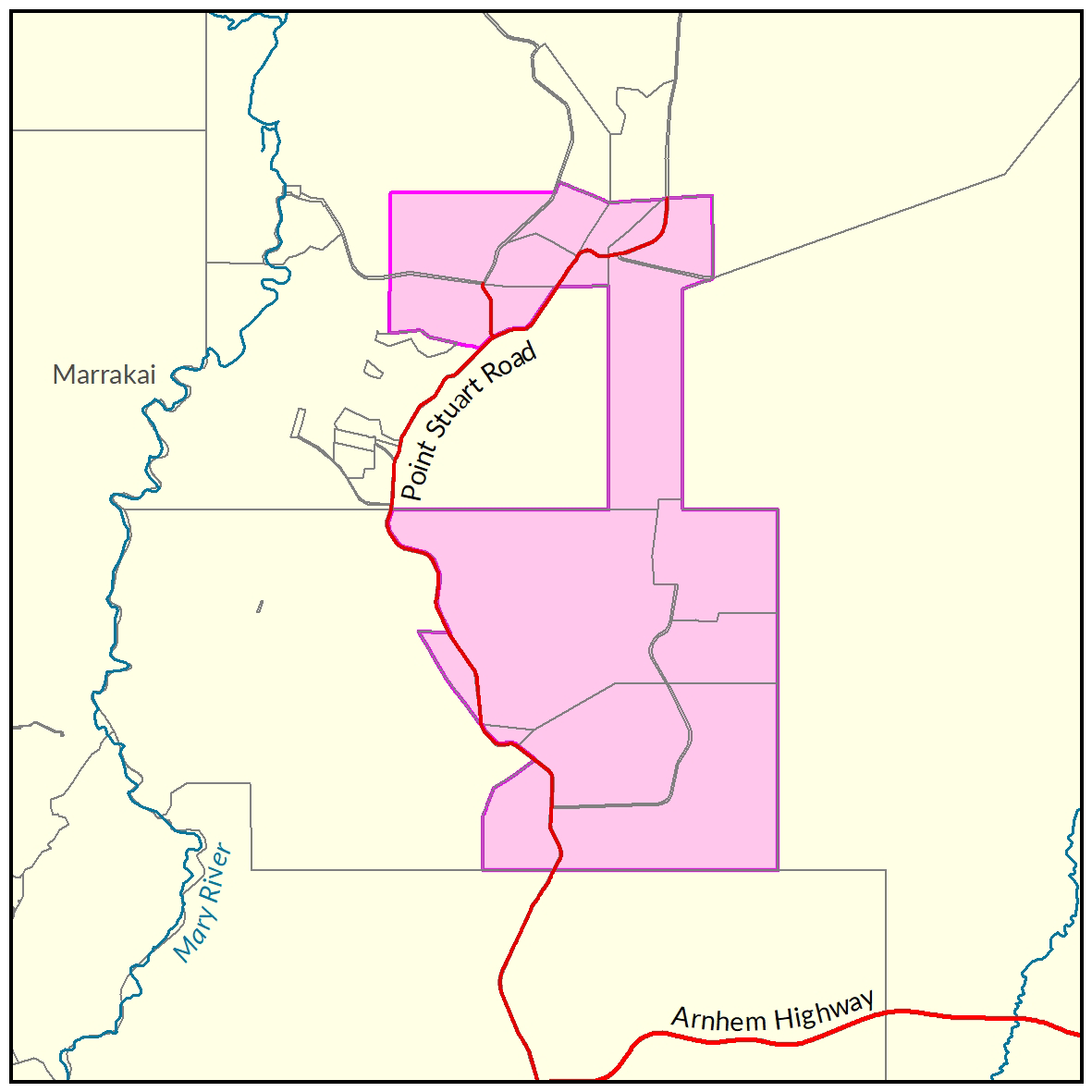
Wildman River
In 2015, the Department of Land Resource Management undertook a soil and land suitability investigation for irrigated agriculture in the Wildman River region. This project area had a water resource assessment completed in 2016.
Wildman River
In 2015 the Department of Land Resource Management undertook a soil and land suitability investigation for irrigated agriculture in the Wildman River region.
Of the 34,304ha surveyed:
- 8,994ha was assessed as high class land for irrigated agriculture and
- 15,000 ha having high to moderate land capability.
Complementing this work, a water resource assessment was completed in 2016.
Complementing this work, a water resource assessment was completed in 2016 identifying two main aquifers in the study area, a shallow palaeovalley aquifer within the southern Mesozoic/Cenozoic strata and the deeper Koolpinyah Dolostone aquifer.
The Estimated Sustainable Yield from the palaeovalley aquifers is 2,000ML/yr and 4,000ML/yr from the Dolostone aquifer.

View a larger version of the Wildman River locality map.
Soil and land
The following report and maps document the soil and land factors likely to impact irrigated agricultural development and highlight the crops most suited to the study area.
- Read the report on the Territory Stories website.
- View the maps (pdf).
- Download the spatial data package.
- View the metadata.
- View the survey location on NR Maps.
Water
A water resource assessment provides understanding of the area's hydrogeology, including the extent and properties of the aquifers, regional groundwater flow patterns, baseflow characteristics and identification of groundwater dependent ecosystems.
Read the report on the Territory Stories website.
Contact
For further information contact rangelands@nt.gov.au
Give feedback about this page.
Share this page:
URL copied!