Katherine
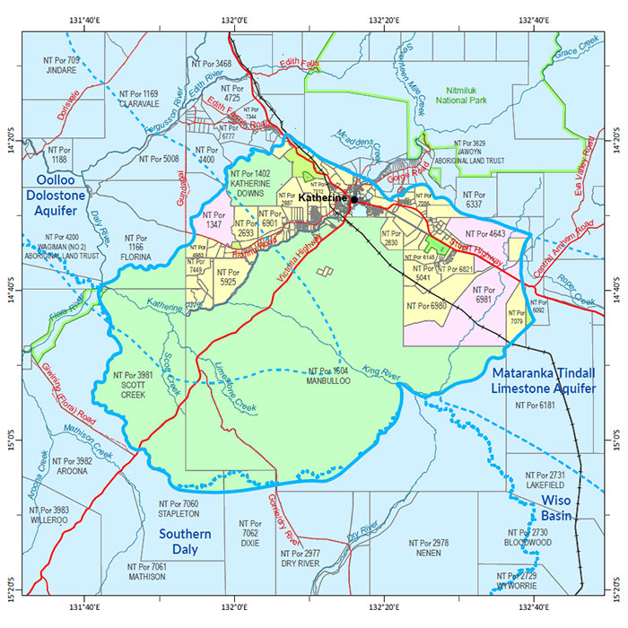
A soil and land suitability assessment and biodiversity assessment for Katherine was undertaken during 2018-22 and the Biodiversity assessment of the Katherine area report was published in 2024.
These products were integrated with the Katherine Tindall Limestone Aquifer Water Allocation Plan to provide a comprehensive overview of the biophysical resources within the Katherine Town Plan area.
For more information about the survey location, go to the NR Maps website.
Biodiversity
The following report documents the results of fauna and flora surveys within the Katherine study area, including occurrence and distribution of threatened species, significant habitat and biodiversity risk classes.
- Read the report on the Territory Stories website.
- Download the spatial data package (contains data, metadata and report).
- View the metadata.
Water
- Read the Katherine Tindall Limestone Aquifer Water Allocation Plan 2024-2026.
- Read the report on the Territory Stories website.
- Download the Daly Basin Aquifers map.
- Download the spatial data package.
- Read more the metadata, go to the NTLIS website.
- Find out about Tindall Aquifer survey location, go to the NR Maps website.
Contact
For further information contact:
Simon Cruickshank
Phone: 08 8999 3676
Email: simon.cruickshank@nt.gov.au
Give feedback about this page.
Share this page:
URL copied!
