70 years of Water Resources – looking back to the 1950s
To celebrate Water Resources Division 70-year anniversary we will look back and celebrate each decade starting in the 1950s.
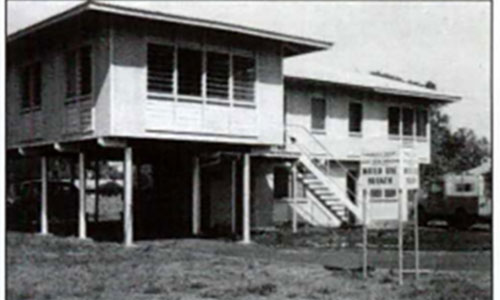
Back in 1955 when the Water Resources Division was first established it was known as the Water Use Branch taking up office in Cavanagh Street Darwin. The branch was created to survey and investigate water resources of the Northern Territory when the Territory was largely an unexplored frontier.
The branch initially comprised of a hydrographic section to collect surface water data for the rice farms and later expanded to include a planning section consisting of surveyors, draftsmen, water samplers and laboratory staff. From as early as 1956 the division carried out chemical analysis of water quality with a laboratory in the Cavanagh Street Office and a portable lab on the back of a Land Rover.
A groundwater section was established to drill bores for pastoralists who were affected by the drought of the 1950s. The division purchased two bore test units and two years later started operating its first drilling rig. In the early days drilling technology relied on cable tool rigs before progressing rotary rigs in 1959, which brought faster penetration rates and the ability to drill in hard rock. This was extremely helpful and needed as discovering the presence of dolomitic limestone in Berry Springs and Humpty Doo came the realisation of the difficulties of stabilising a borehole in a dolomitic limestone aquifer.
In 1959 the Water Use Branch officially became the Water Resources Branch growing from a single director to a team of 82 and opening an office in Alice Springs.
Flooding events in the 1950s including the severe flooding of the Humpty Doo rice fields 1955-56 and again 1956-57; major flooding of Katherine township and Daly River with the Mission evacuated in 1957; and severe flooding at Tortilla Flats in April 1959 required helicopter operations to commence for hydrographic work. Horses were also trialled at this time in a project called Operation horse lift as it was considered that horses were more suitable than vehicles in the wet season as they could get to the confined areas to carry out streamflow measurement in the Mary and Adelaide River catchments. By the late 1950s there were 58 stream gauging station and 9 rain gauging stations.
Geophysical surveys were requested by the division to assess the potential water supplies and in 1957 the Bureau of Mineral Resources undertook a survey which confirmed the presence of sub artesian water in the Gabbage Gum basin area near Tennant Creek. Subsequently, groundwater investigations commenced in 1958 on the Darwin Peninsula, the Pine Creek area and Beswick and Katherine.
In 1959 Geophysical resistivity measurements were used to locate an appropriate bore site for the CSIRO Coastal Plains Research Station at Humpty Doo and testing of this bore with a newly acquired Ornell test unit indicated the existence of a previously unknown major aquifer.
The Rice Development Agreement Ordinance was passed in 1956 with the government assisting investigations to aid rice growing in Humpty Doo and in 1959 the Control of Waters Ordinance amendments required registration of water drillers, driller bore reports and strata samples. The bore reports were an Australian first and resulted in the Territory developing the first and one of the best databanks of groundwater and hydrogeological information with the bore database established in 1959.
Today the bore database holds data on 42,571 bores for the Territory with our team currently monitoring 496 groundwater bores and a further 178 surface water and rainfall sites. This work underpins resource assessments, water models, water plans and water licences.
Tune in next month to learn about the work undertaken by the division in the 1960s.
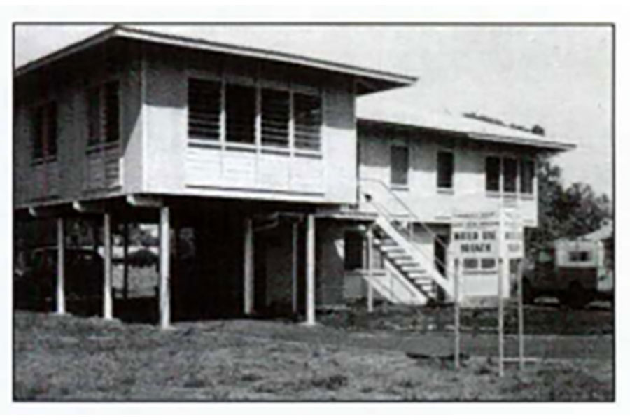
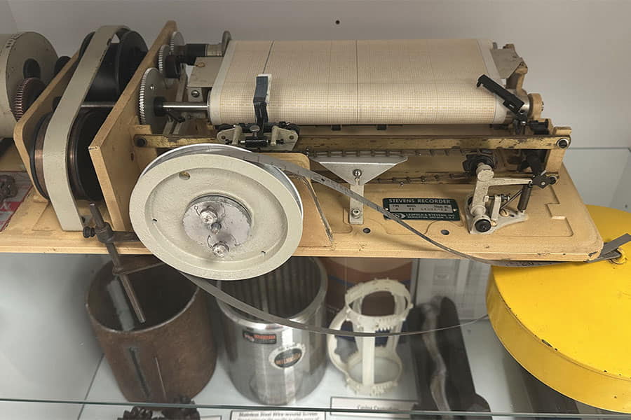
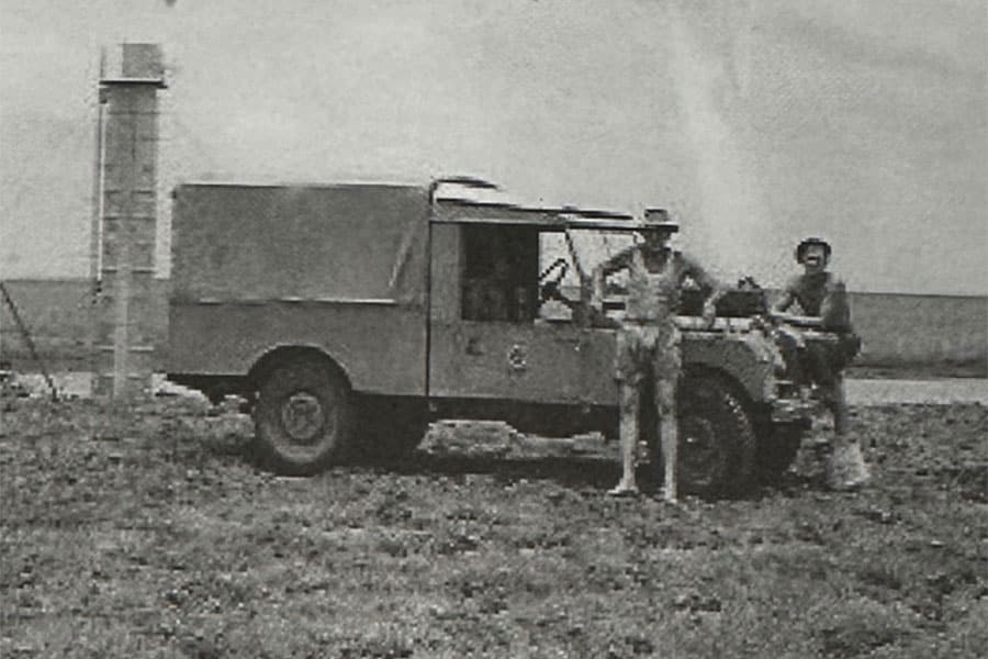
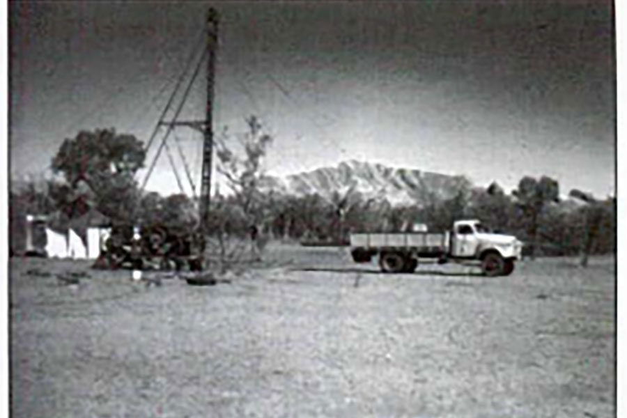
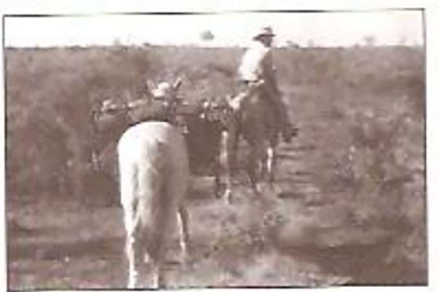
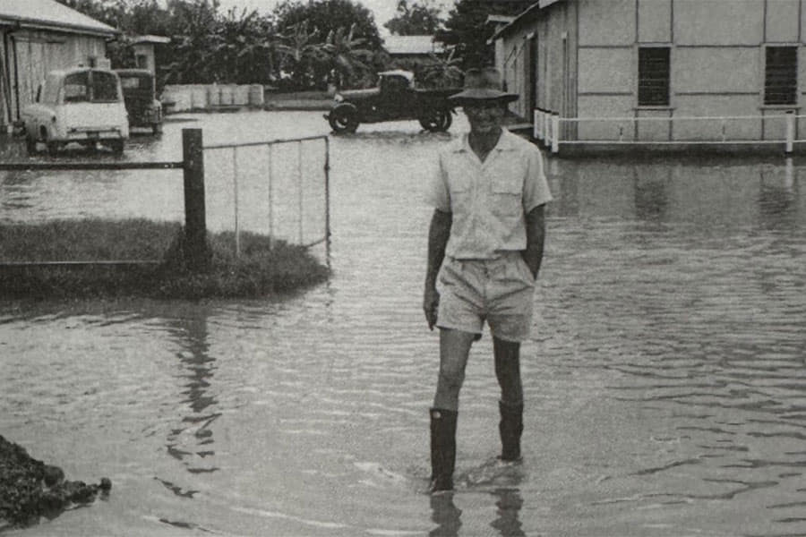
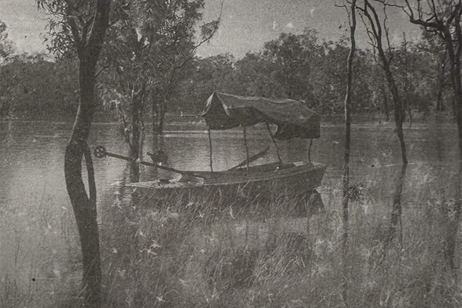
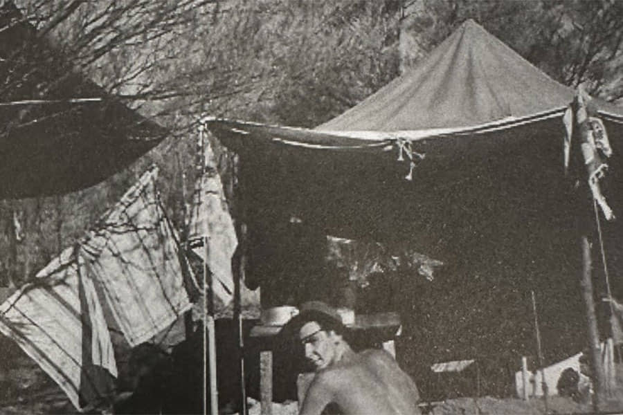
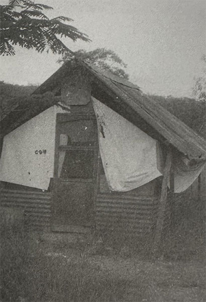
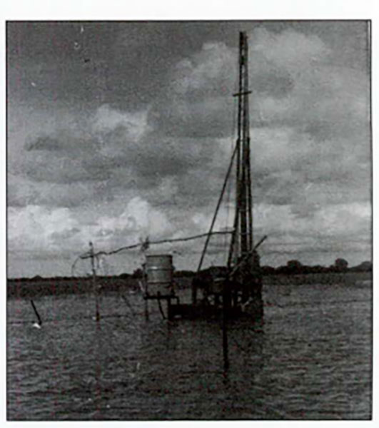
Image credits to Tales from the Field NT Water Resources 1955-2008 and Water Resources 40 years on History of the NT Water Resources Division.
For more information read the history of the Northern Territory Water Resources Division PDF (12.7 MB).