Unlocking planning: NT Land Information Search
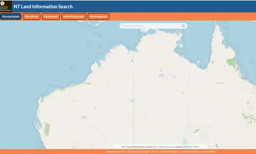
The NT Land Information Search is a user-friendly, web-based platform that allows users to quickly retrieve detailed planning and development information tied to a specific property address across the Northern Territory.
The platform offers a range of valuable insights that support planning, property assessment and development decisions:
- Zoning information
Find out how land is zoned and what types of development are permitted or restricted on a property. - Overlays
Identify any planning overlays that may apply, such as environmental considerations, heritage areas or other regulatory constraints. - Strategic frameworks
Understand how a property fits within broader planning strategies and long-term land-use visions. - Planning applications
Review current and past determinations linked to a property, providing transparency into its development history. Planning permits and associated documents can be accessed through the platform.
The NT Land Information Search plays a critical role in improving planning transparency and accessibility. By providing open access to land-use data:
- Developers and consultants can assess feasibility and compliance early in the project lifecycle.
- Property buyers and investors can better understand risks, opportunities, and constraints before making decisions.
- Community members can stay informed about developments that may impact their neighbourhood.
- Government and planners can streamline processes and reduce administrative burden through digital access.
Access the NT Land Information Search.