Busy start to 2026 for water monitoring
With the exceptionally high rainfalls during January and February, the Water Division Monitoring team has been working hard to ensure flow data is available to keep communities safe across the Territory.
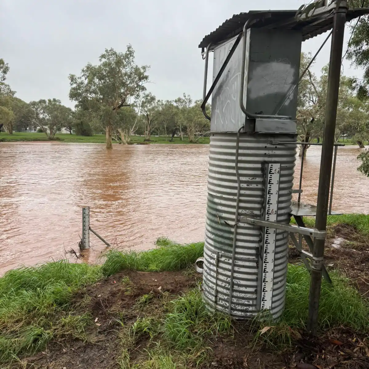
River flow levels and rainfall data are signalled from our monitoring network in near-real time to online databases for use in flood modelling and to inform the warning notices issued by the Bureau of Meteorology. Keeping the network running during flood conditions and collecting field measurements to verify instrument readings is a key service provided by our monitoring team during the wet season.
Each October, the Water Monitoring team begins planning for the wet season, prioritising which sites will be visited if river levels rise. With widespread rain across the Territory since the start of 2026, the team has been out measuring and verifying water levels at key monitoring sites, some of which were flowing at unprecedented levels.
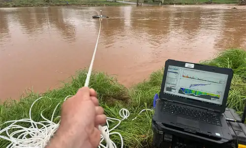
During these field trips, monitoring officers check that the water levels reported by the monitoring station are accurate. The team also takes additional measurements with specialised equipment, called gaugings, to confirm and improve the relationship between a river’s height and the amount of water flowing at that location.
Two water monitoring officers were deployed at short notice to Alice Springs in advance of a second weather event that was predicted to result in a Category C flood level in the Todd River. This followed the first event, which caused a Category D flood level, the second-highest flood level on record after the floods of 1988.
The team conducted gaugings at locations that are normally dry riverbeds in the:
- Todd and Finke rivers around Alice Springs,
- Wycliffe and Taylor creeks in the Western Davenports.
All sites recorded very high river flows. They were particularly fortunate to capture a flash flood in Taylor Creek, measuring flow over 90 m³/s - the highest ever recorded. The following day they returned to find the flow had dropped to 20 m³/s, and by the third day it had ceased completely, showing the rarity of the event.
Other highlights included:
- more than 60 gaugings conducted across the Territory during January and February for flow events outside the previously captured range
- eight of the highest gaugings registered in the Katherine River at Wilden (G8140536), prior to flooding, which makes further recordings unsafe
- monitoring officers worked closely with management at McArthur River Mine to gain permission to launch a boat in the river on the mine lease, enabling the first high‑stage gaugings in the McArthur River since 2007, the first since the river diversion
- a high‑intensity body of work to define the discharge rating at the newly constructed gauging station Adelaide River Marrakai Crossing (G8170105) on the rising and falling limb of flows, which will improve calibration of modelling for the future AROWS project
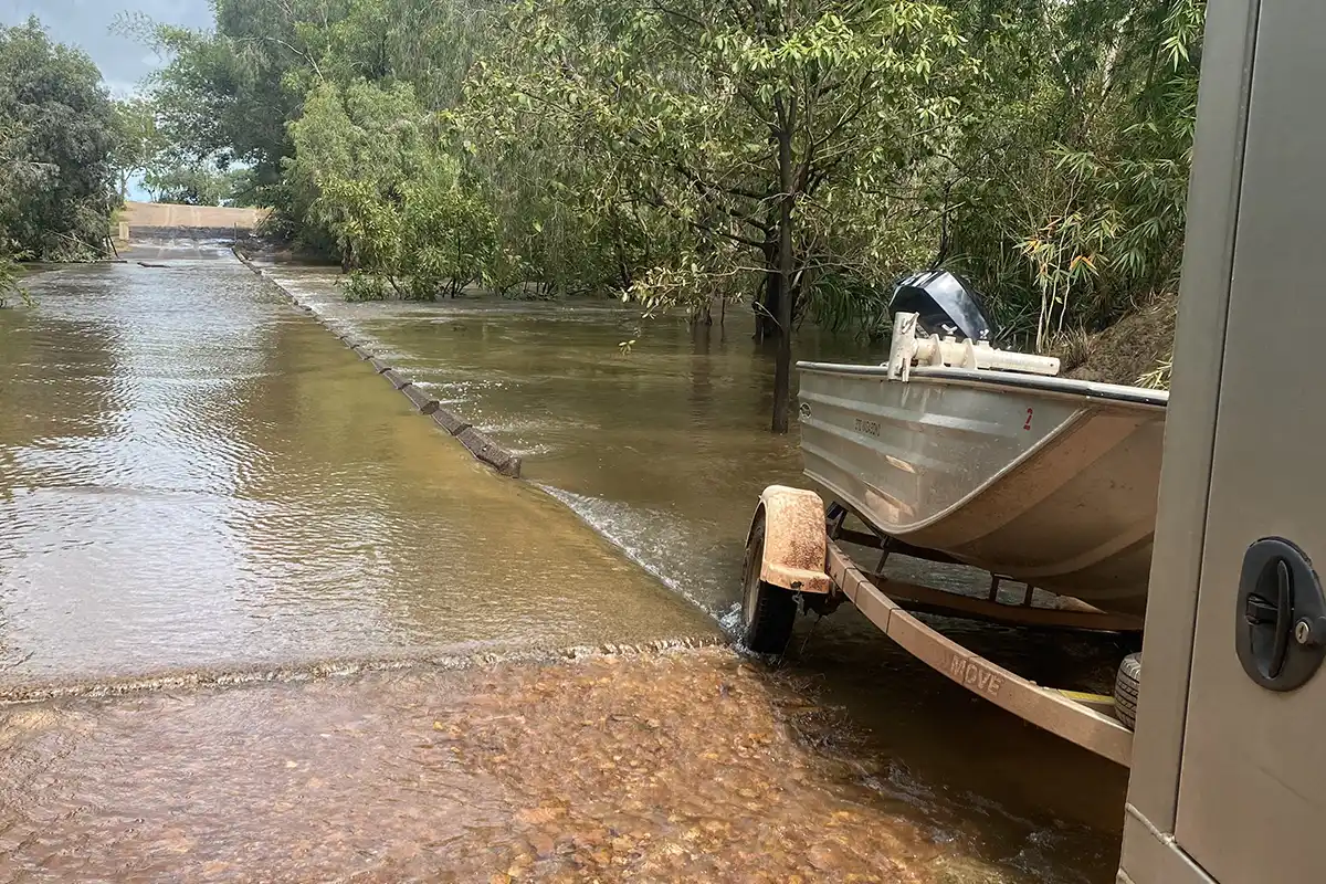
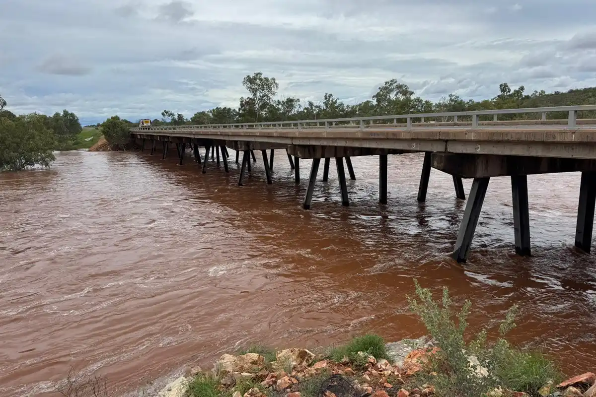
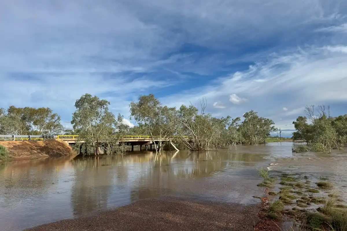
- gaps in river height data at Adelaide River at Tortilla Flats (G8170084) filled in, with the river spilling over the bridge
- several other sites within the Adelaide River catchment visited to measure floodwaters at key locations
- scheduled groundwater monitoring conducted around the Darwin rural area, even in extreme weather conditions, noting that some monitoring has been deferred where bores are underwater or becoming artesian
- monitoring officers attending to an unused gauging station that had fallen into disrepair, using construction skills to make the site safe in record time.
A shout‑out also goes to the office and depot‑based monitoring officers who have consistently supported the field staff::
- providing spare equipment
- repairing equipment when required
- supporting logistics and field planning
- assisting with field work when needed.
With the wet season not over yet, and further rainfall predicted over the Top End in March, the Water Monitoring team expects to remain busy gauging floodwaters for a few more months.
Live river height and rainfall data can be viewed on the NT Water Data Portal.