Big wet, different rivers – what to expect this dry season
The 2025–26 wet season has been exceptionally wet across much of the NT. As we move into the dry season, it’s normal to see different rivers respond in different ways.
The Department of Lands, Planning and Environment has been monitoring NT rivers since the 1950s. We know that change is a normal part of how our river systems work, and we have strong long term data to help understand how rivers may respond after a very wet year.
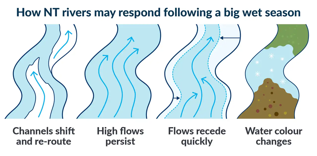
Depending on the type of river, people may notice:
- changes to river channels and flow paths, where high wet season flows have moved sand and sediment, and occasionally cut new channels
- strong flows lasting well into the dry season, particularly in rivers supported by groundwater
- flows receding quickly in rivers with little groundwater storage
- water colour changes from bluish tinge to clear due to increased surface water flows.
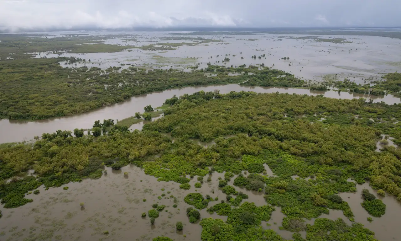
Large floods transport lots of sand and debris down river causing channels to shift and new pathways to form. Some rivers may carry more water or less water than before, depending on their character. Instream sandbars (for example, Oolloo Sandbars) may have been removed, and others appeared over the duration of this wet season. Snags such as tree trunks might pose new hazards to navigation. With catchments being so wet, it is likely that some riverbank slumping will have occurred. Changes to channels and flow paths are most likely in parts of rivers that are sandy and mobile, such as sections of the Roper and Daly Rivers.
Strong dry season flows are common in our Big Rivers because they are supported by significant groundwater systems and springs. On the Roper and the Daly, people are likely to experience ongoing, higher than expected flows throughout the dry season. Water levels may remain elevated for longer, making access to some riverbanks, crossings, and low lying areas more difficult than in a typical dry season. Flowing water may persist in sections that are often dry, and channels may stay wet well into the year.
Rivers such as the Adelaide and Margaret have little to no groundwater input. In an average year in these types of rivers, flows drop rapidly when run-off ceases. The Margaret River does not receive groundwater contributions and is expected to stop flowing early in the dry season, as usual. In contrast, the small proportion of its flow that the Adelaide River does receive from aquifer contributions may be sufficient to keep it flowing in its downstream reaches throughout the entire dry season — a pattern that occurs in around 60% of years.
Water colour and quality often change during the wet to dry transition. Flooding washes sediments, decaying leaves, and organic matter into rivers and waterholes, turning water grey or dark brown. As water recedes, sediments and debris drop out of the water and the water becomes clearer. Where flow ceases, nutrients washed into rivers can promote algal growth, making water appear green.
Water level and flow measurements continue throughout the year, with data available in near real time through the NT Water Data Portal. Once conditions allow safe access, the Water Resources Division will access more areas to assess how river conditions may have changed. To learn about the portal, go to the Northern Territory Government website.
Each water resource managed under a water allocation plan receives an annual state of the resource report card, ensuring observed changes — and our scientific interpretation of them — are transparent and publicly available.
Territorians are encouraged to email the Water Resources Division if they observe anything out of the ordinary during the dry season at water.resources@nt.gov.au.