World water monitoring day 2025
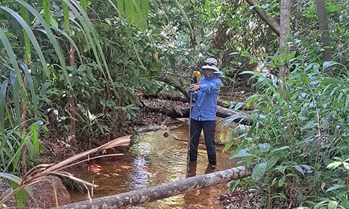
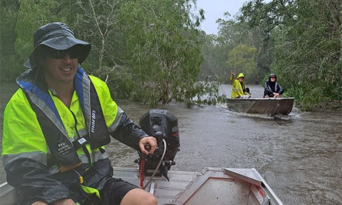
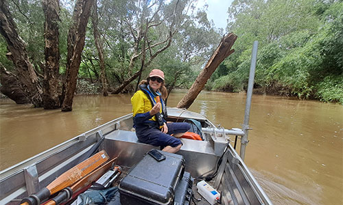
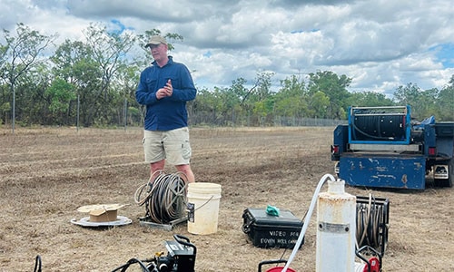
Water monitoring has been occurring across the Territory since the 1950s. The Water Monitoring Branch is responsible for managing and maintaining the groundwater and river monitoring network as well as the analysis, synthesis and translation of current water levels to inform water resource management.
There are approximately 665 sites currently monitored across the Territory with approximately 479 sites related to groundwater and 186 related to surface water and rainfall. Of these 183 surface water sites, 87 are used for the purposes of flood monitoring and infrastructure alerting purposes.
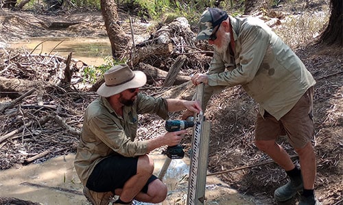
Groundwater levels in bores are measured either continuously or seasonally to determine the maximum and minimum levels, as well as seasonal rate of change of an aquifer’s water surface.
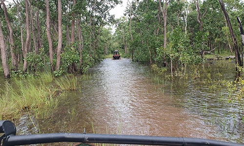
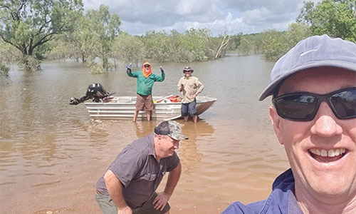
Rainfall data is measured on an event basis to determine the intensity, location and spatial distribution of rainfall within a catchment. Continuously measured river level data defines the frequency and length of time a river flows, the river height range and river response to catchment rainfall.
River and spring flows are undertaken as discrete measurements called gaugings. Gaugings are performed throughout river height range, which defines the relationship between river height and flow at specific locations. This relationship, called a rating table, is used to create continuous flow datasets.
Water quality data is also collected, and includes physical and chemical properties of waters, nutrient monitoring and biological monitoring of macroinvertebrates and fish as well as targeted research to improve our understanding of ecological processes. The data is used to help us understand the potential impacts that increased development and changes in water quality may have on our ecosystems.
The data collected by the Water Monitoring Branch at specific sites is shared publicly. To access the water data portal, go to the Northern Territory Government website.
Water monitoring data underpins the work of the division and supports the development of water allocation plans, water control districts, announced allocations and estimated sustainable yields. The data is also provided to the Bureau of Meteorology for incorporation into national and regional projects and functions.