Mapping Nature for a Sustainable Future: The Greater Weddell Biodiversity Assessment
As population growth and urban development continue across the Northern Territory, ensuring that expansion occurs in a scientifically informed and ecologically responsible manner is essential.
The Flora and Fauna Division of the Department of Lands, Planning and the Environment is supporting this goal through a comprehensive biodiversity assessment of the Greater Weddell sub-region, an area of high conservation value that also has strategic development potential.
Ecological Significance of the Greater Weddell Region
Spanning approximately 394 km², the Greater Weddell region encompasses a diverse landscape including Weddell, Berry Springs, Noonamah, and the Blackmore and Taranaki peninsulas.
The area includes Crown land and freehold tenures and contains ecologically significant zones such as Berry Springs Nature Park and sections of the Darwin Harbour Site of Conservation Significance.
The region supports a mosaic of habitats important for many plant and animal species, contributing to the Territory’s overall biodiversity.
Methodology: Integrating Remote Sensing and Field Surveys
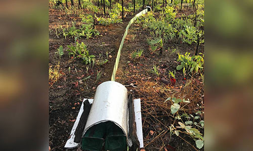
To characterise biodiversity across the region, scientists employed an integrated approach combining high-resolution satellite imagery, systematic field surveys, and local ecological knowledge.
This enabled detailed mapping of 86 distinct vegetation types, with particular attention to sensitive and significant ecosystems including mangrove forests, seasonal wetlands, monsoon rainforest patches, and sandsheet heath.
These ecosystems are recognised for their ecological functions, ranging from carbon storage and water filtration to breeding and foraging habitat for threatened species.
Key Findings: Threatened Species and Unique Biodiversity Features
The assessment documented:
- Eight threatened plant species, with an additional species under evaluation for listing, contributing thousands of new occurrence records to the NT’s biodiversity database.
- Twenty-one threatened animal species, including mammals, birds, reptiles, and amphibians, confirmed through targeted surveys and acoustic monitoring.
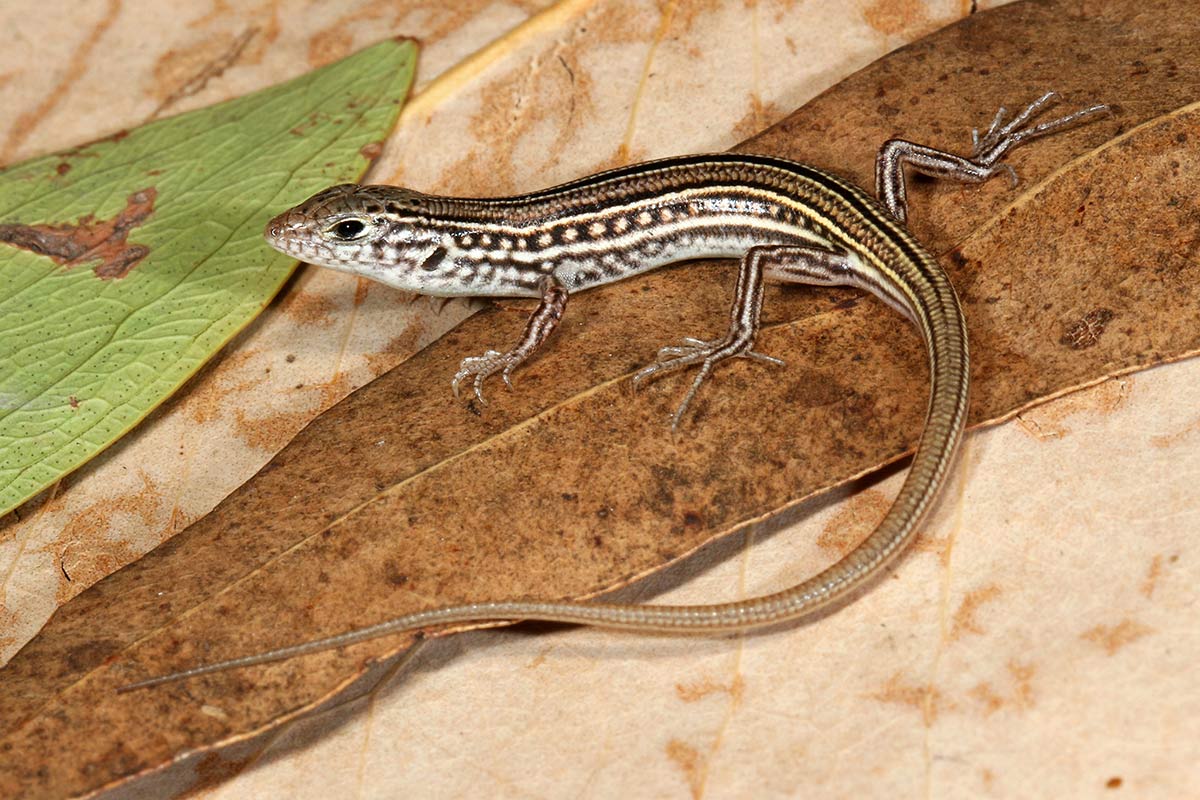
- A potential new species of lizard, subject to taxonomic verification, underscoring the region’s underexplored biological richness.
This new data significantly improves our understanding of the spatial distribution of conservation values, particularly in areas likely to experience development pressure.
Biodiversity Value Assessment and Spatial Analysis
Using the collected ecological data, scientists identified 23 key biodiversity features, integrating these into a spatial model of overall biodiversity value across the study area.
Each location was assigned a value category ranging from 'very high' to 'low,' providing a robust evidence base to guide strategic planning.
This allows decision-makers to visualise the distribution of ecological assets and identify areas most important to retain for conservation, or areas which can be developed with minimal environmental impact.
Implications for Land Use Planning and Development
The Greater Weddell Biodiversity Assessment provides an essential decision-support tool for:
- Avoiding or minimising development in ecologically sensitive areas.
- Complying with environmental legislation and biodiversity offset policies.
- Designing sustainable land use plans that properly integrate biodiversity values.
- Assessing cumulative impacts of development and other pressures.
By embedding these biodiversity values early in the planning process, the NT Government and stakeholders can facilitate a development pathway that aligns with ecological sustainability.
This assessment demonstrates an approach to manage growth in the Northern Territory in a way that is ecologically informed, spatially strategic, and future focused.
Protecting areas of high biodiversity value is not only essential for the survival of threatened species but also ensures that natural systems continue to provide the ecosystem services upon which communities depend.
Access the full report and data package.