70 years of Water Resources - 1990s
Water Resources Division – the 90s
1992 – the year the Water Act reshaped NT water management. Passed by the Northern Territory Legislative Assembly, it paved the way for ‘NT Water’, a strategic plan for managing the Territory’s water resources, which was released for community comment.
Following the Act’s implementation, appointments were made to the Water Resources Review Panel and the Drillers Qualifications Advisory Committee, and the first Northern Territory Driller Licences were issued in February 1995.
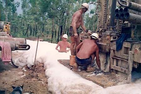
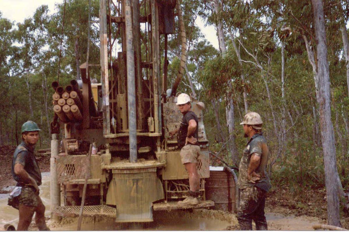
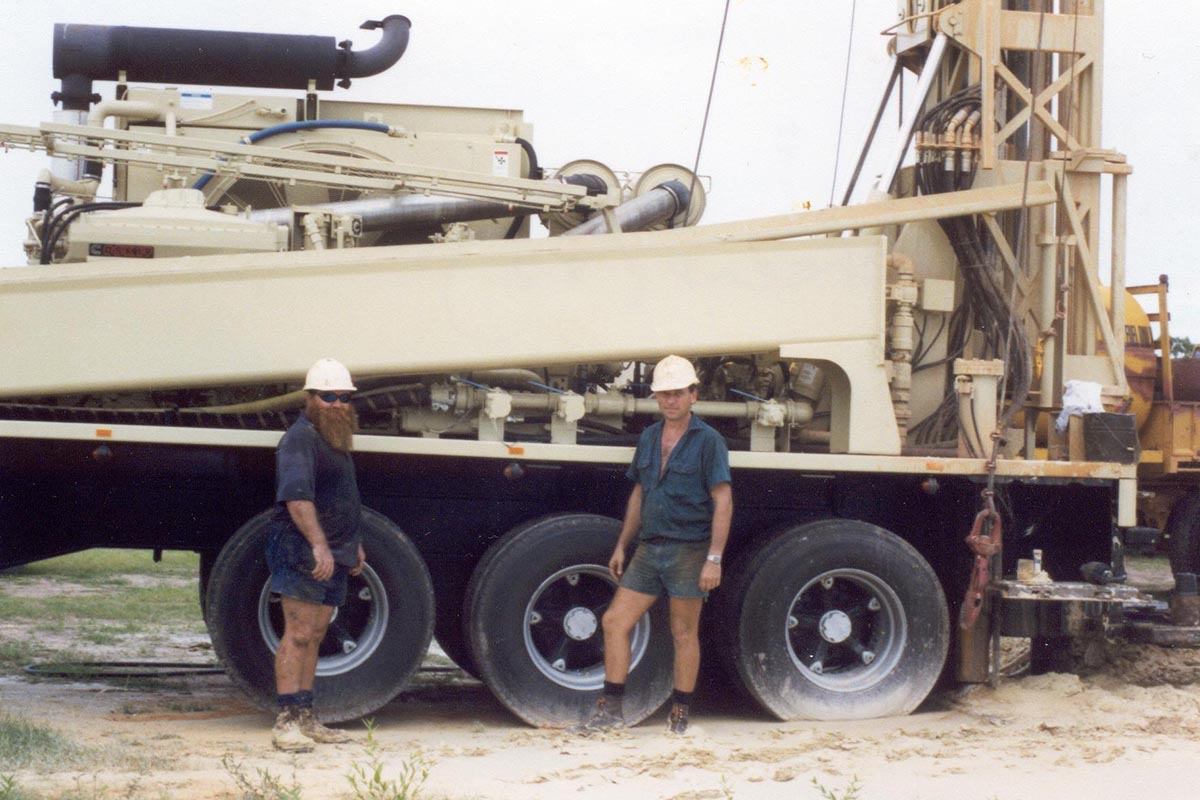
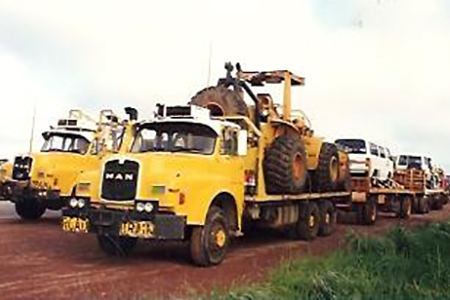
Bore drilling work increased during 1993 to reach a total of 101 bores with seventy-two being pump-tested. During 1995, No.22 Rig was used for 143 drilling days while No.23 Rig achieved 154 drilling days. This number of production days in the field had never previously been achieved by Water Resources Division.
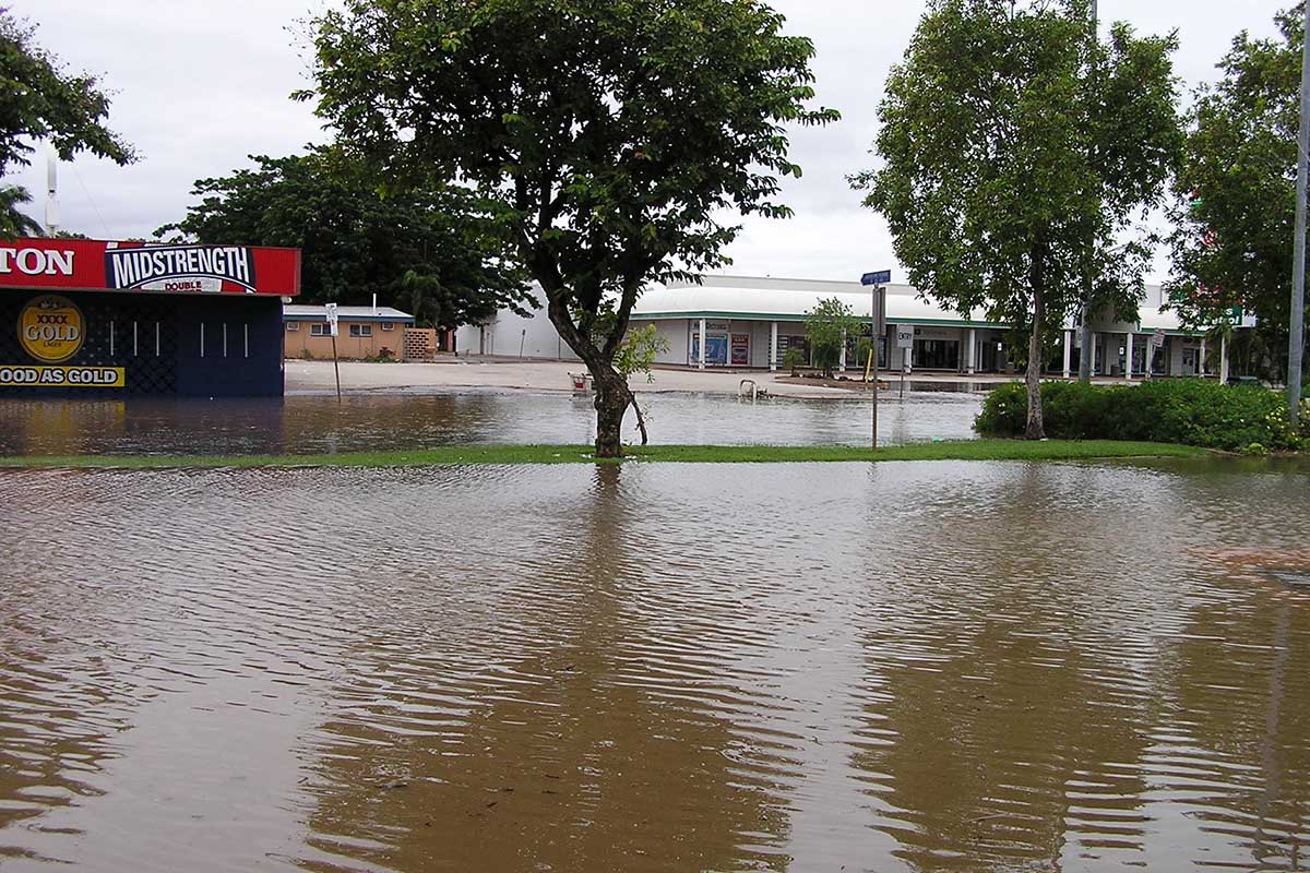
The 1998 floods that struck Katherine triggered the mobilisation of Water Resources Division’s surface water gauging crews. The crews were tasked with measuring water levels and flows under extreme conditions. The Stuart Highway outside Katherine was cut off and washed away, preventing road access.
With no local helicopter available, one was chartered from Kununurra, met at Pine Creek, and flown into Katherine. Police provided a boat, and gauging was carried out with RAAF volunteers at the flood’s peak of 20.4 metres, when the entire town was submerged. Measurements were taken in every street, recording the largest flow ever through Katherine at 7,400 cubic metres per second.
Overnight accommodation in Katherine was impossible, so crews flew back each night to Pine Creek, camping outside the Police and Emergency Services office alongside about 30 helicopters from across the Top End. People came to help from surrounding stations, including from mustering and charter companies.
Our surface water gauging team tracked the flood as it moved downstream. At Florina Station, the homestead was submerged, and residents were living in a machinery shed. One week later, the flood reached Daly River, submerging the community, including the pub.
Road access was cut, so transport was arranged via helicopter from Batchelor. At the 5 Mile, police authorised the use of one of 20 boats stranded along the flooded road. This huge effort paid off when our crews measured the highest flow to date on the Daly River at 8,000 cubic metres per second.
Data collected during these events remains an important part of the Water Resources Division’s Groundwater and Surface Water dataset, continuing to inform the development of water allocation plans and the understanding of the Northern Territory’s water resources today.
Next month, we will highlight the 2000s.
Credits to ‘Tales from the Field: NT Water Resources 1955-2008’ and ‘Water Resources 40 years on: history of the Northern Territory Water Resources Division’.