70 years of Water Resources - 1980s
In the early 1980s, a water control district was declared in the Alice Springs area to control development and use of the groundwater resource. While in the north, mangoes began to be grown commercially across the Darwin rural area, driving the first public awareness campaigns on the protection of the water resources.
Following a review in 1982, the division was restructured with functions transferring to other government agencies. Staff numbers fell from 315 staff in 1979, to around 177.
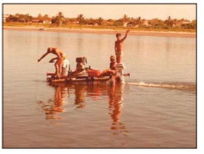
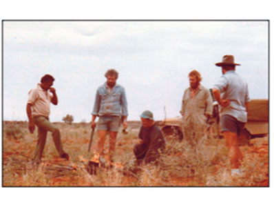
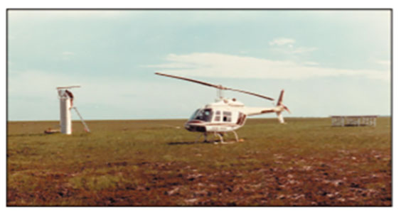
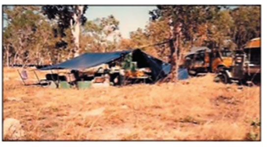
Throughout 1982 and 1983, groundwater supplies were developed at 15 remote Aboriginal communities located in the Arnhem and Alice Springs regions. Sixty technical projects commenced in 1984, including at a cashew nut plantation at Wildman River Station, and a groundwater investigation for a proposed major tourist development at Kings Canyon Resort.
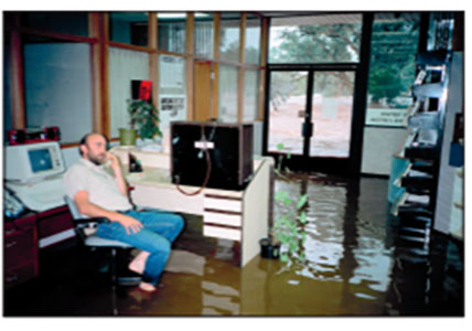
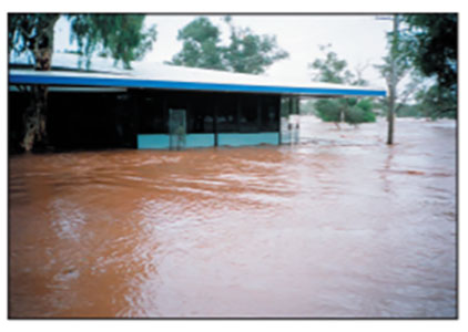
Cyclones again wreaked havoc, with Cyclone Kathy in the Gulf of Carpentaria destroying the tidal recorder on Centre Island and causing a tidal surge that left dugongs and turtles stranded several kilometres inland in 1984. The Water Resources office in Borroloola, was also blown away. This was followed by the arrival of Cyclone Gretel in April 1985, which caused flooding in areas from the west Arnhem to the Victoria River Downs.
Stage 1 of a flood warning system for Alice Springs was developed and began operation in the 1985/86 wet season, and upgraded flood warning systems for the Katherine and Daly Rivers were successfully tested over the 1986/87 wet season.
In 1987, the division transferred to the Northern Territory Water Authority and later that year amalgamated with the Northern Territory Electricity Commission to form the Power and Water Authority.
By mid-1987, there were approximately 20,000 registered bores in the Northern Territory. Bore testing was completed at 54 locations, with 122 bores tested and developed with flow rates from 0.5 litre per second to 100 litre per second. In addition, 1,148 bores were also monitored and sampled on a regular basis at 62 locations. Bores drilled under the Water Supply Development Act achieved a 65% success rate in the northern region, and 50% in the southern region.
Floodplain mapping for Borroloola, the rural area downstream of Katherine, and the Kakadu Highway flood hydrology study were finalised in 1988. Later, further floodplain mapping was completed for Undoolya Valley in the Alice Springs area, and the Finniss River. Towards the end of the 1980s, field work on the study of Darwin River Dam and Manton Dam was undertaken to preserving the quality of Darwin's water supply.
Next month, we will highlight the 1990s.
Credits to ‘Tales from the Field: NT Water Resources 1955-2008’ and ‘Water Resources 40 years on: history of the Northern Territory Water Resources Division’.