70 years of Water Resources – 1960s
Water Resources will be submitting a monthly update starting from the 1950s and moving up a decade each month till the 2020s. This month’s story is on the 1960s.
This month we are discussing the work undertaken by the division in the 1960s.
The decade started with the first Water Supplies Development Ordinance in 1961 with the director of the Water Resources branch appointed the Commissioner of Water Development. This was followed by the Australian Resources Council being established in 1962 to collaborate on water matters, with divisional staff represented on the standing committee and the groundwater and surface water technical committees.
Amendments to legislation and Federal policy initiatives during this period provided better regulation of licensing, control of works in water courses and signalled an increased commitment to surface water and groundwater resource investigations. These investigations include the Ord River project, Mt Bundy Road crossing, Adelaide River bridge, and tidal movements on Darwin Harbour and Melville Bay on Gove Peninsula for the NT Port Authority. Water Resources staffing had increased to 126 by 1962.
This time saw the start of the dud bore scheme, which aided pastoralists to increase their water supplies. This included financial compensation to landholders that drilled dud bores or financial loans to landholders who wished to develop water resources on their property. In the first two years, the branch received applications for advice and assistance for 289 bores and by 1966 this had increased to 265 applications covering 527 bores.
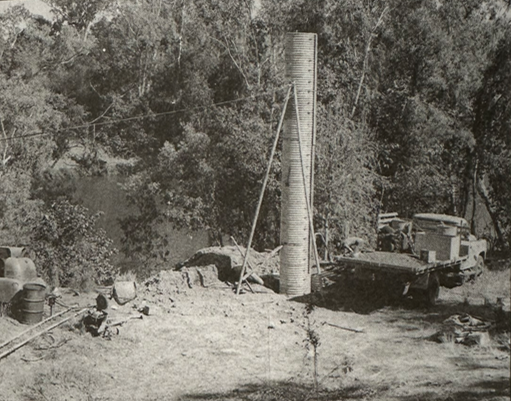
A Territory wide network of gauging stations continued as staffing levels increased with a number of gauging stations equipped with long term water level recorders and special purpose stations combined where possible. These special purpose stations were established to collect streamflow data for future bridge or causeway design, potential irrigation, water supplies, flood forecasting and pollution monitoring. A major works program included the construction of new stations with six pluviometers installed in the Darwin River catchment for studies relating to Darwin's future water supply.
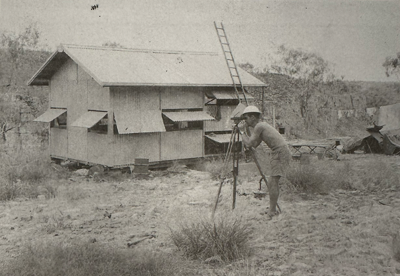
In 1965 there were 172 water resources staff with a depot established in Katherine. By 1967 the division oversaw 191 gauging stations across the Top End including the Victoria River and Daly River Basin, Melville Island, Adelaide River Basin, Liverpool River (Arnhem Land) Roper River and in the southern region the Todd, Finke and Georgina River Basins.
In 1969, Manton Dam was selected as part of a National Evaporation Study to establish a more accurate method of forecasting evaporation from lakes and reservoirs throughout Australia. One raft and two land mounted meteorological stations were constructed and weekly visits were maintained.
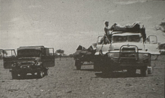
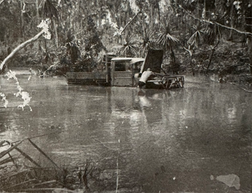
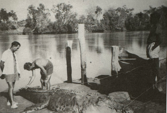
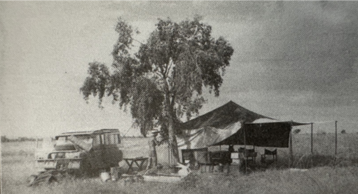
For many working at Water Resources meant going bush for months at a time, staff were provisioned with a billy can, camp oven, swag, straw mattress and some blankets with a daily allowance of $1.35. While on field duties, staff experienced helicopter incidents, vehicle accidents and general injuries. In 1966, hydrographer Lew Matthews was awarded the British Empire Medal (the highest civilian award for bravery) for the rescue of a pilot from a burning helicopter in the Darwin River area that had flown into power lines.
Next month we will highlight the 1970s and discuss the effect Cyclone Tracy had on the work undertaken by the division.
Credits to Tales from the Field NT Water Resources 1955-2008 and Water Resources 40 years on History of the NT Water Resources Division.