Science underpinning the Adelaide River ecological assessment
The Water Resources Division has spent the last few months in and around the Adelaide River Catchment collecting the science that will underpin the development of the Adelaide River water allocation plan.
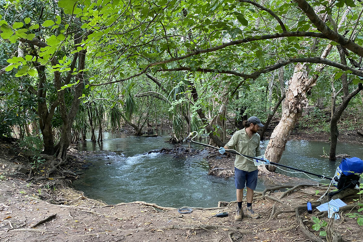
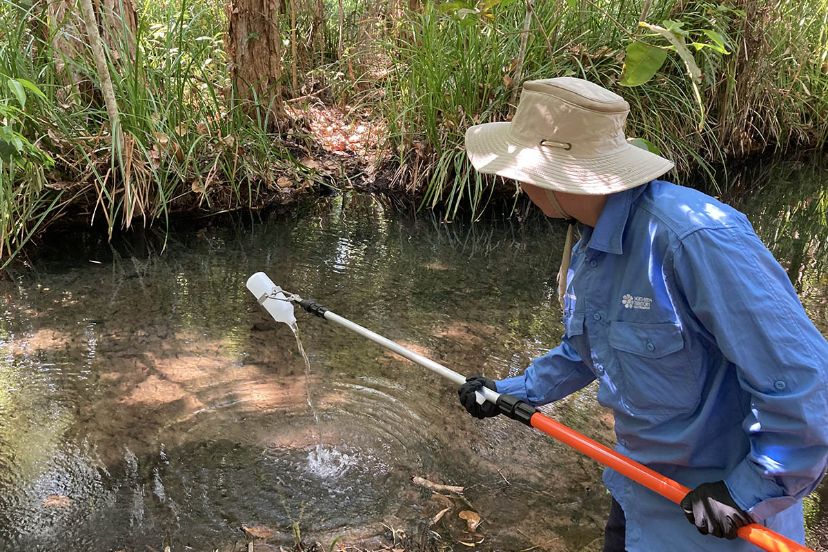
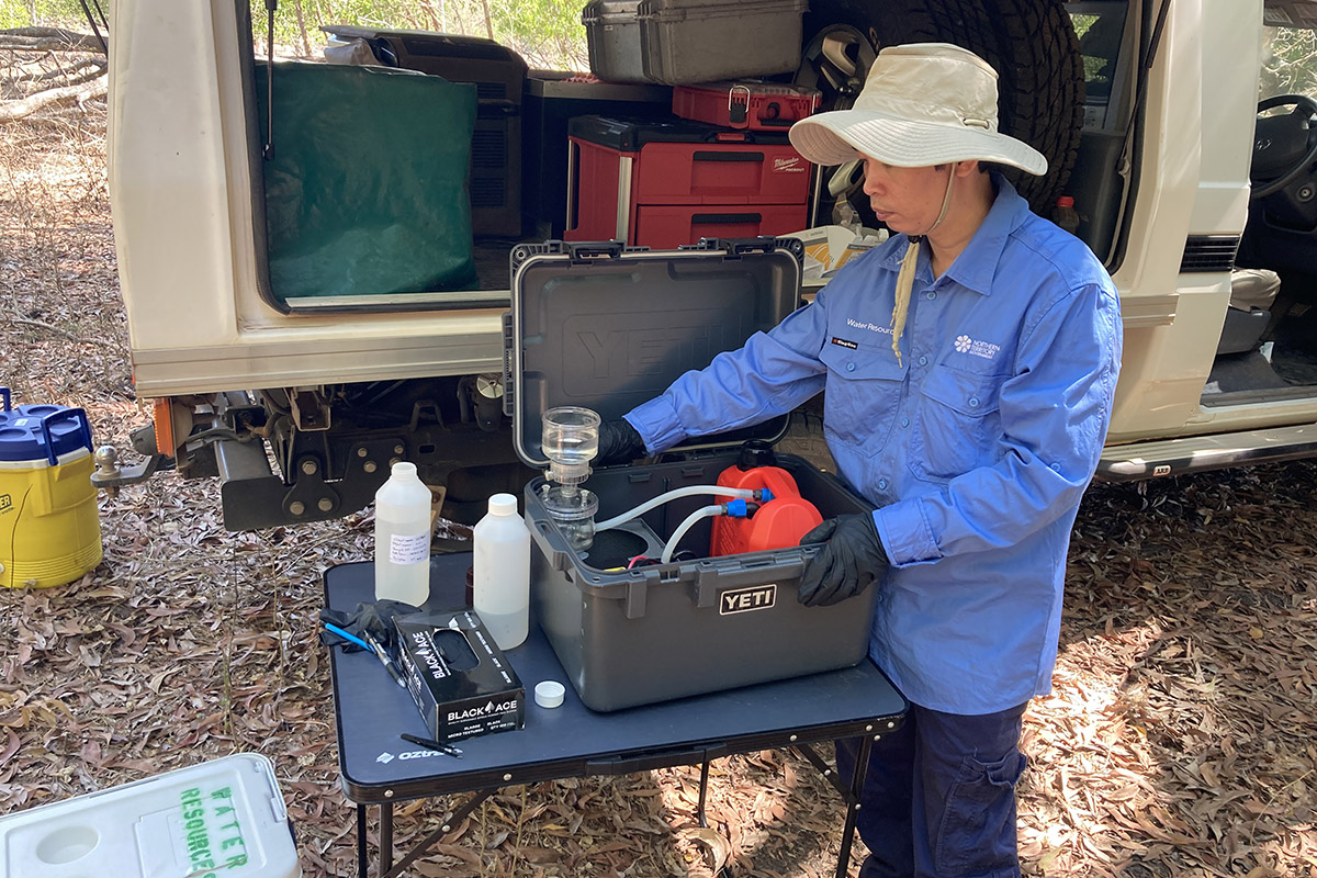
The work forms the baseline understanding of the catchment with more than 150 water quality and environmental DNA (eDNA) samples collected across 20 key sites along the Adelaide River and its major tributaries upstream of the Arnhem Highway. This includes the Margaret River, Bridge Creek, Burrell Creek, Howley Creek, Commalie Creek, Acacia Creek, and Manton River and wetland areas including Melacca Swamp, and Beatrice and Learning Tree Lagoon.
The snapshot of the water quality and aquatic biodiversity in the Adelaide River catchment is using leading edge environmental DNA monitoring to provide valuable insights into the presence of aquatic species in a non-invasive manner without the need for direct observation. Ongoing measurements of water quality at 10 sites will provide important insight into seasonal and tidal changes to better understand their relationship to the aquatic ecosystems. The information will inform future management strategies to preserve water quality and aquatic ecosystems within the Adelaide River Catchment.
The next stage of the project partner with Flora and Fauna Division to survey the aquatic habitats, with a focus on aquatic vertebrates (fish and turtles) and selected aquatic macroinvertebrates, of the Adelaide River catchment.
Funded by the National Water Grid Authority the project will develop the Adelaide River water allocation plan in early 2026. This is the first surface water catchment plan for the Territory and a shout out to Xavier Tingle and Kien Nguyen for getting out into the catchment, getting wet, not getting bogged, observing crocodile safety, to get the samples.


