Water levels up across the Douglas Daly
Water levels are higher than the same time last year across a range of monitoring bores in the Douglas/Daly as part of the biannual water allocation plan monitoring run.
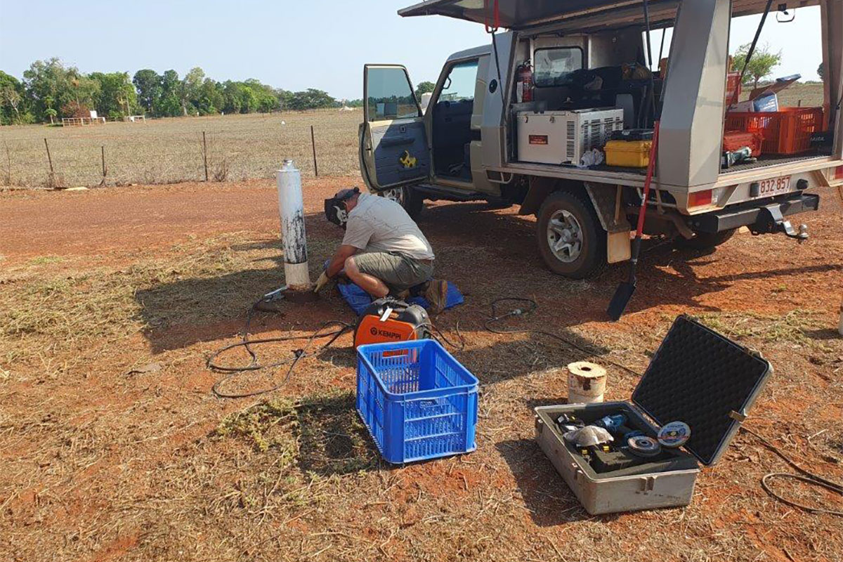
Water Resources staff, Rob and Trev recently spent two weeks checking the water levels across a range of monitoring bores in the Douglas/Daly and Katherine regions as part of the biannual water allocation plan monitoring run.
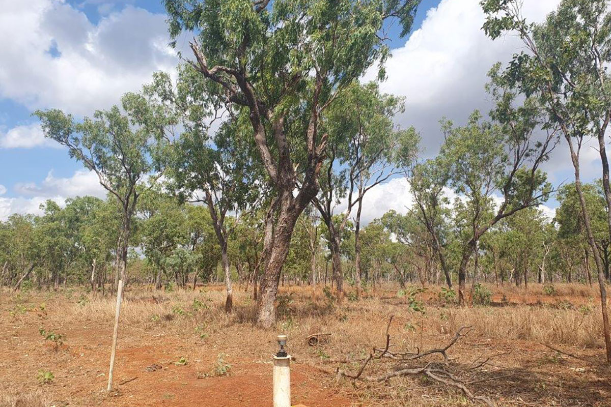
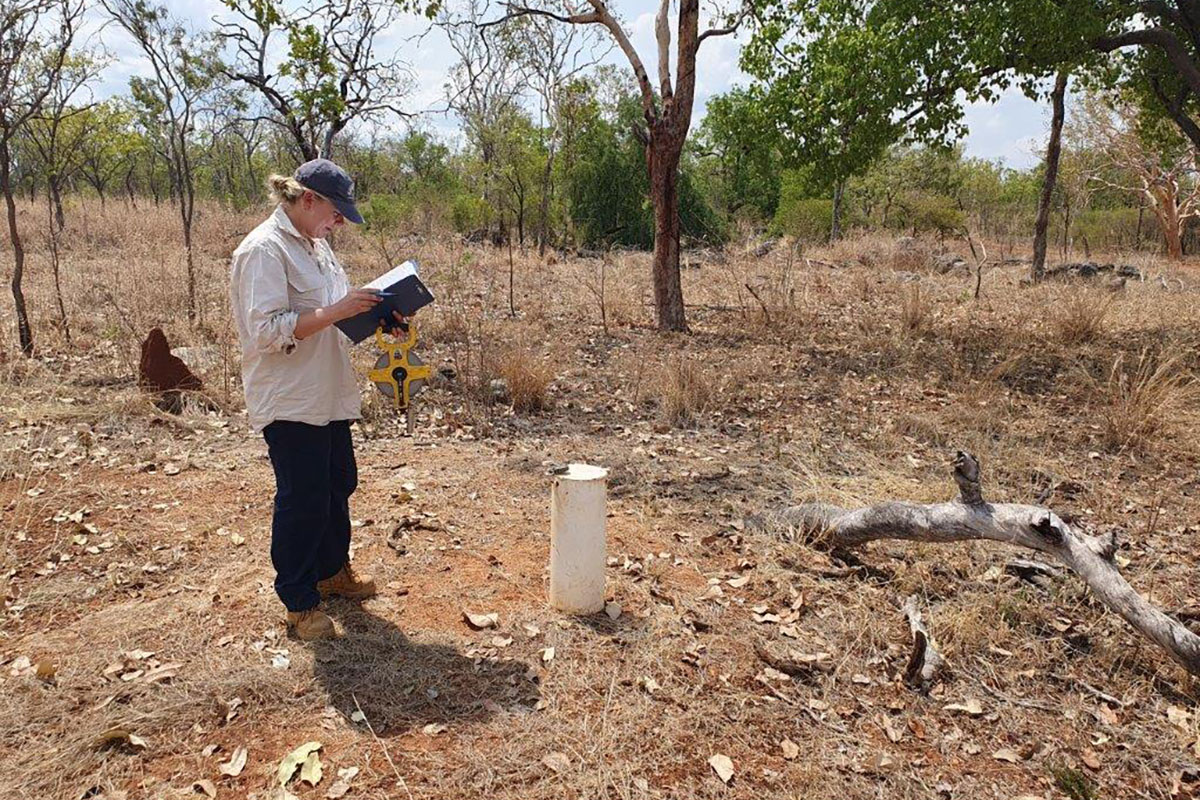
This involved taking discrete water level readings and downloading continuous water level data in 85 bores across the 2 weeks. Water levels for both regions were found to be average to above average compared to this time last year.
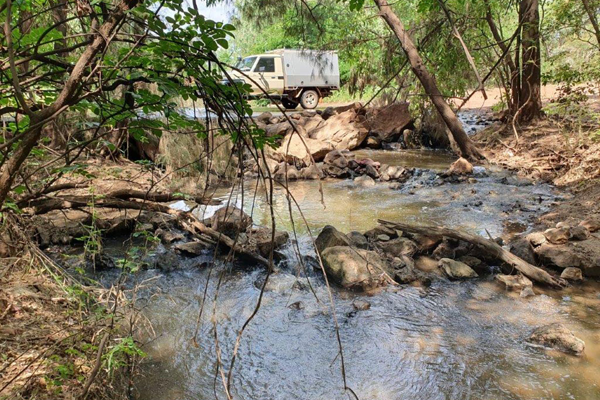
In the Douglas/Daly region the visit to 47 bores showed levels have risen by 1.5 to 2 metres compared to this time last year. The biggest rise was in a new bore, RN043525 at Jindare Station, where water levels increased by over 9 metres. Rob and Trev also observed that while Slippery Creek, which would normally have ceased following was still flowing in October, which is consistent with the higher groundwater levels.
In the Katherine region, Rob and Trev were joined by staff from the Katherine-based office Jo, Brett, Sarah, and Aless - to visit 38 bores. Thanks to the extra help, the team were able to collect data for all the bores within the week. Water levels in the Katherine area were found to be similar to those at the same time last year.


